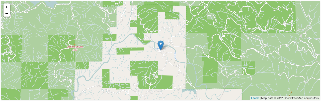
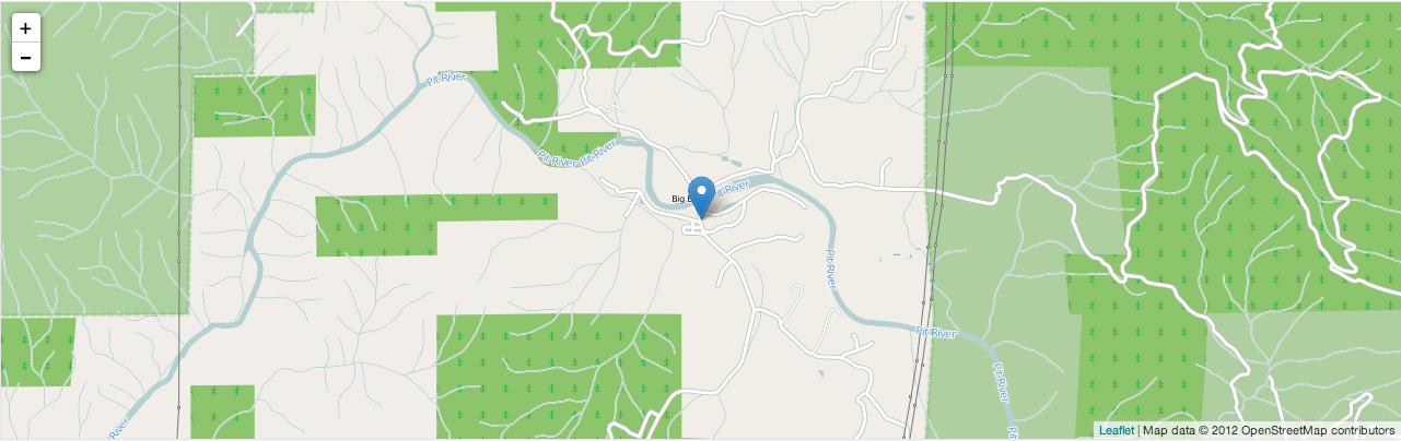
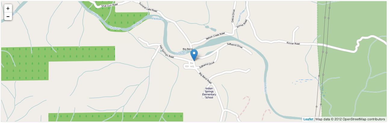
OMGosh- If YOU ARE INTERESTED IN MAPS AND GEOGRAPHY of the BIG BEND, SHASTA COUNTY AREA, you are in luck- (Big Time!), and… *We hope you enjoy this collection of featured funtastic fabulous Big Bend Area maps, BELOW:
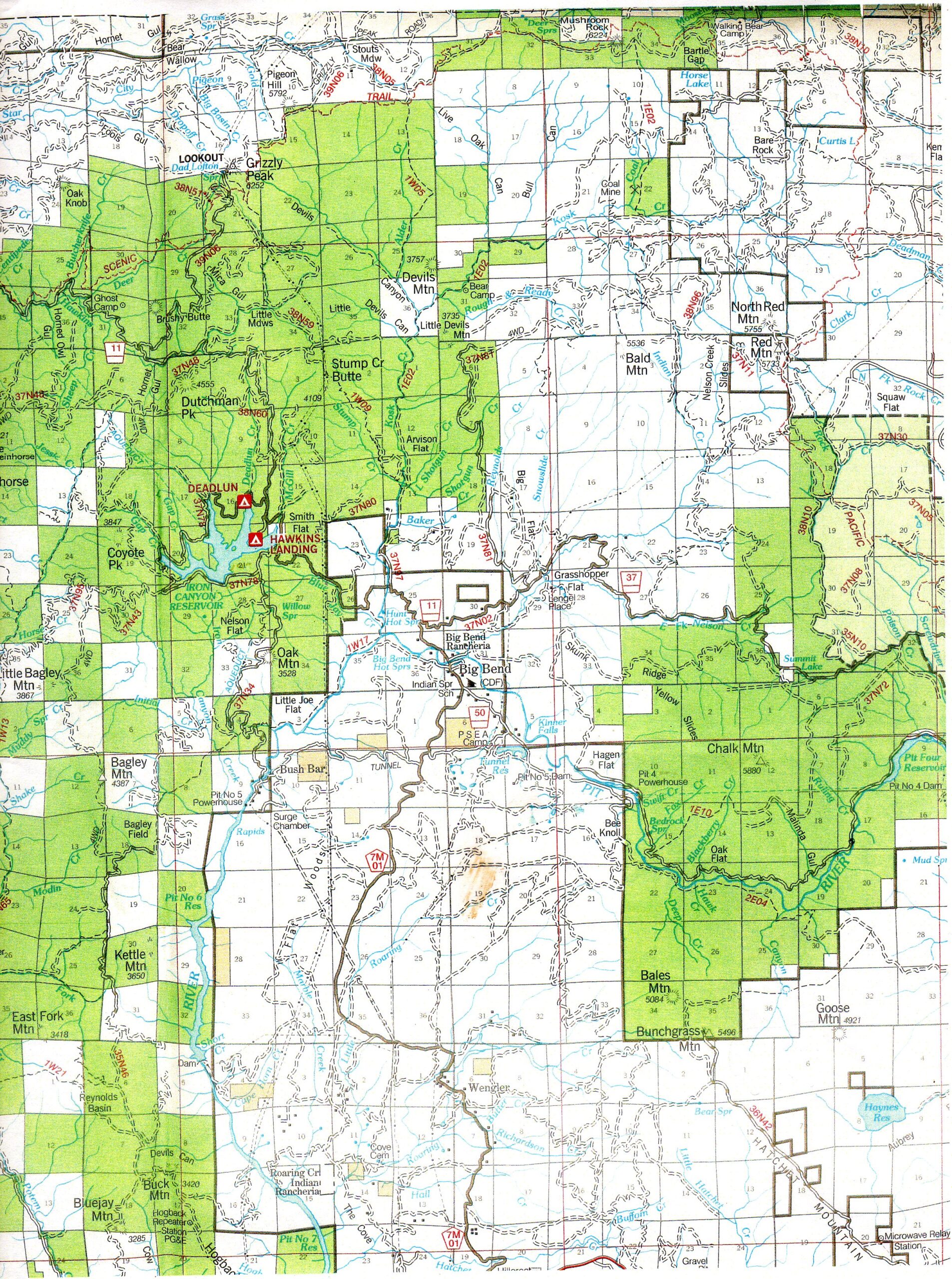
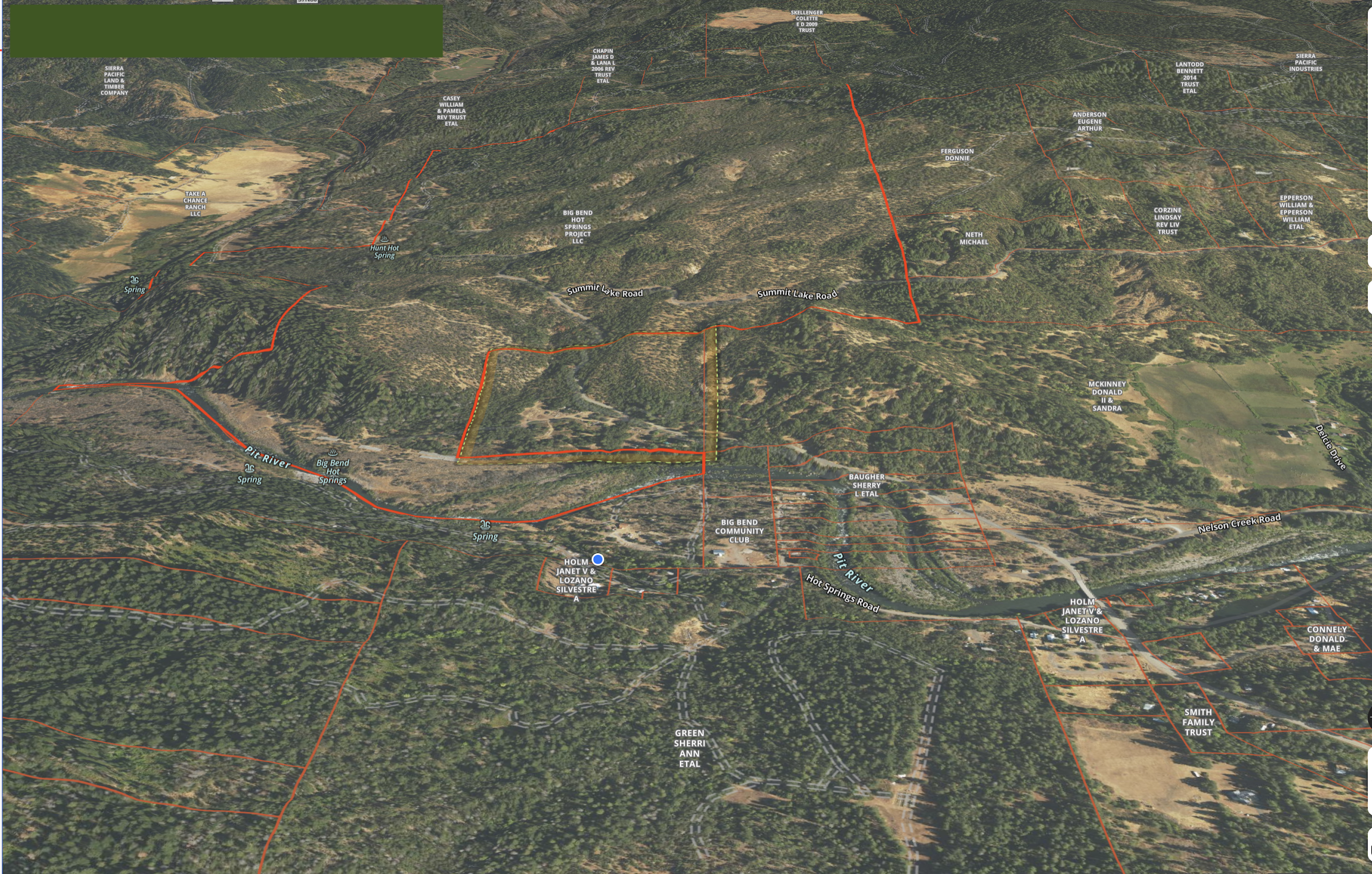
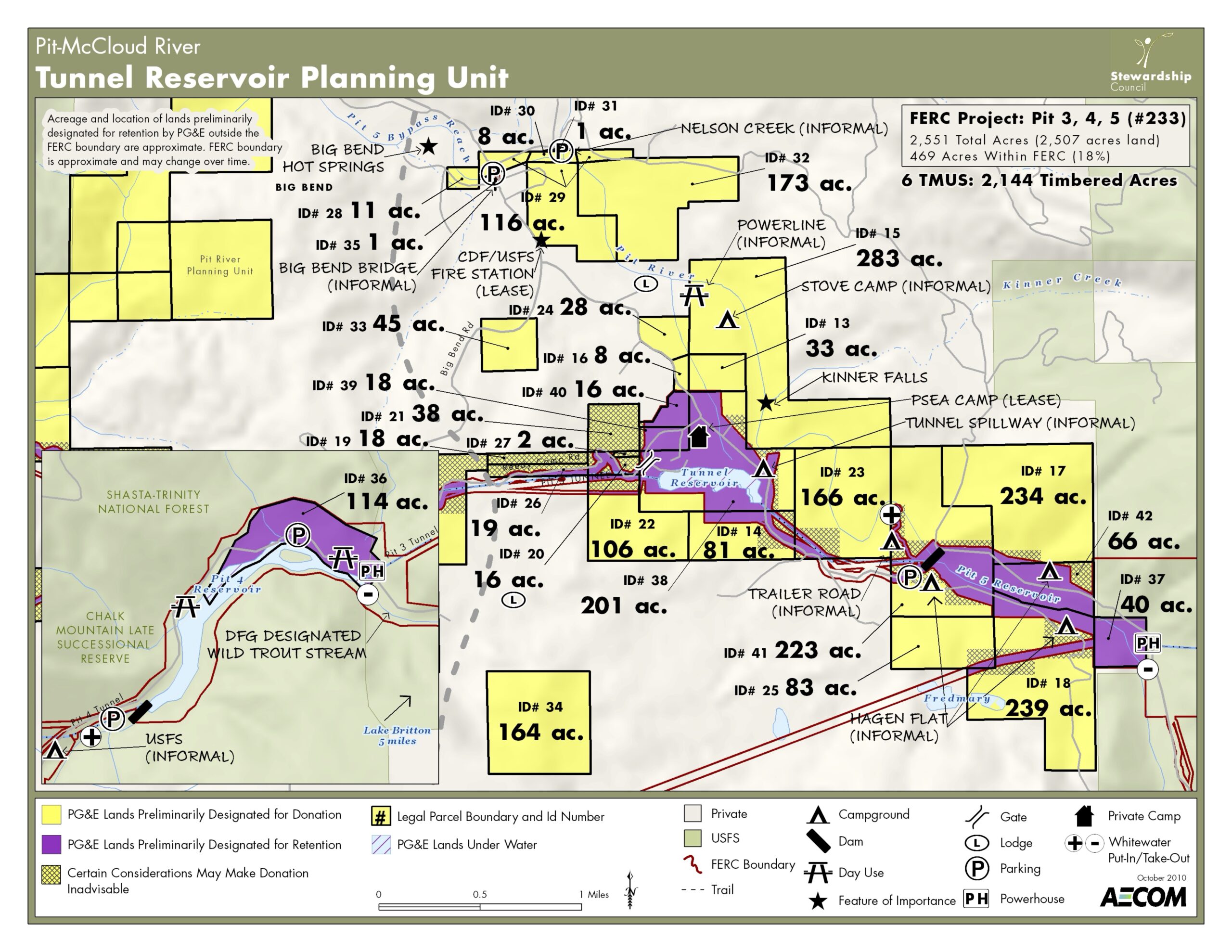
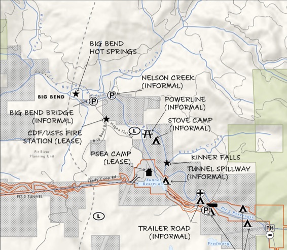
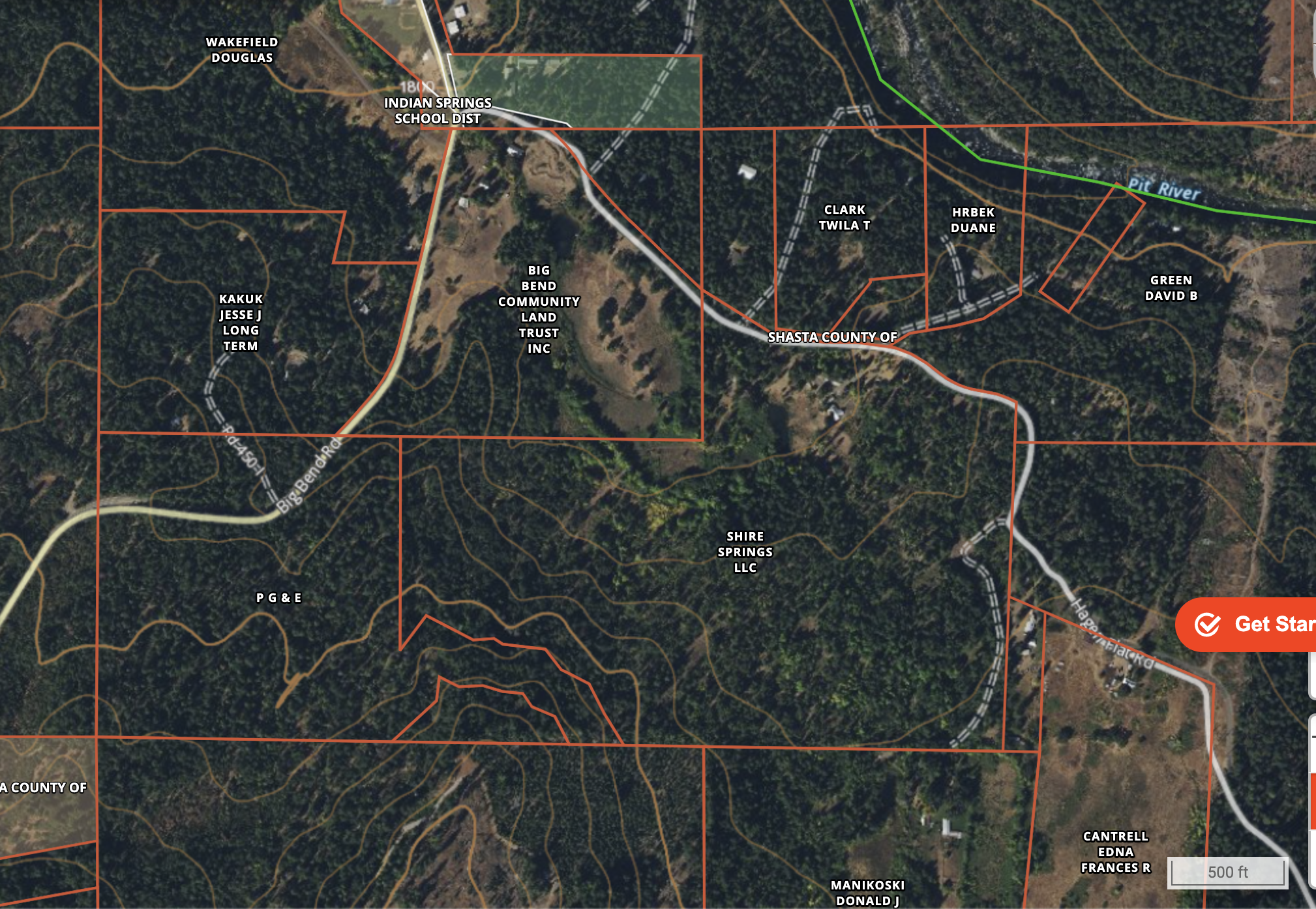
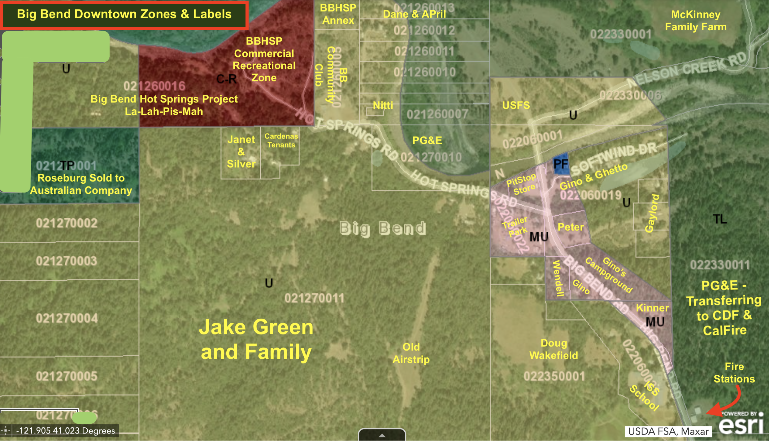
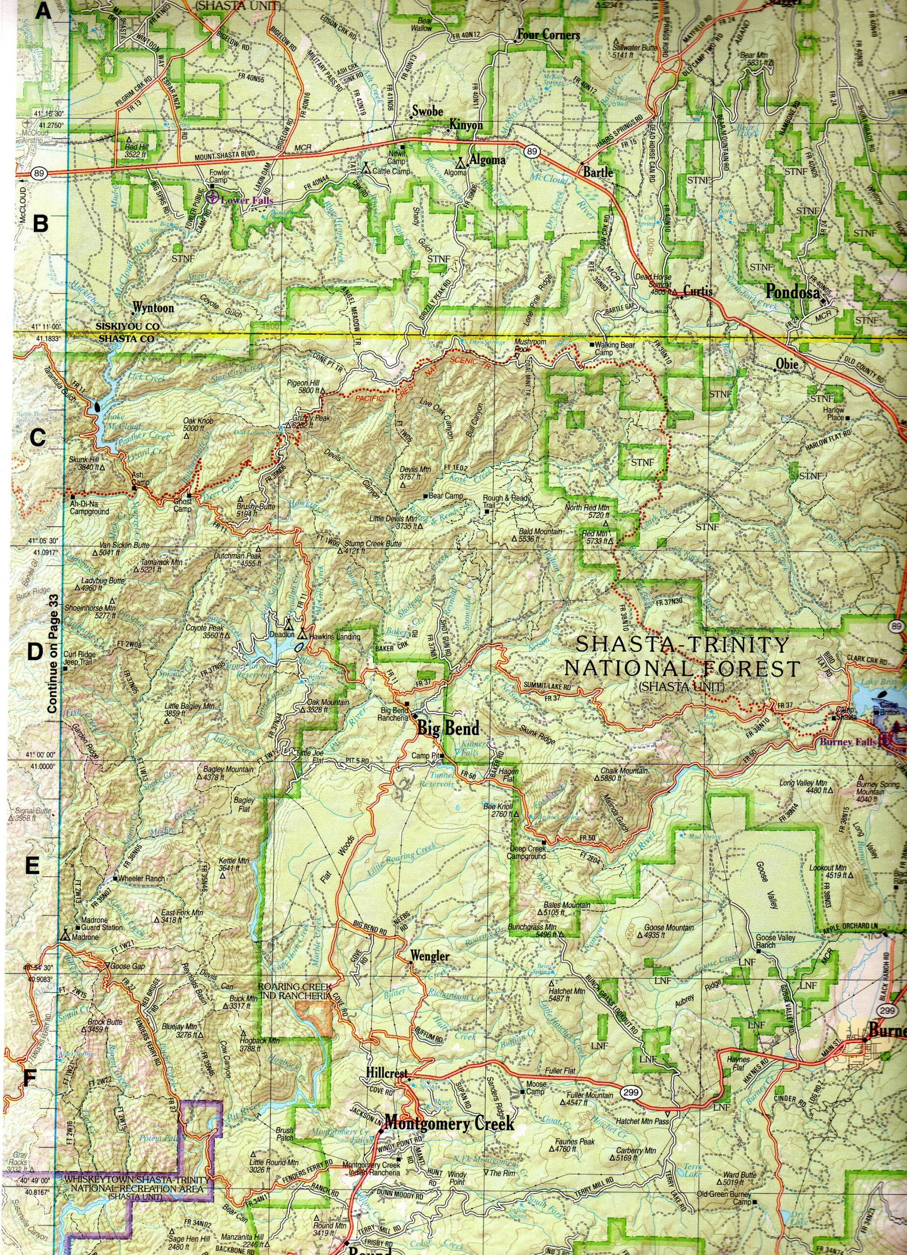
Geography can be fun. For people who love maps, here is a gallery of Big Bend Area maps for your enjoyment and assistance in your research and getting around. The maps have been collected from various public sources and cropped, enhanced, enlarged, and/or marked up and labeled. Most of them generally center on Big Bend and surrounding areas, which vary a lot from map to map. Interesting crops and map layers highlight some unique or important features of the very unique Big Bend area in Shasta County, including some maps zoomed in to specific smaller or notable sections of the Madesi Valley.
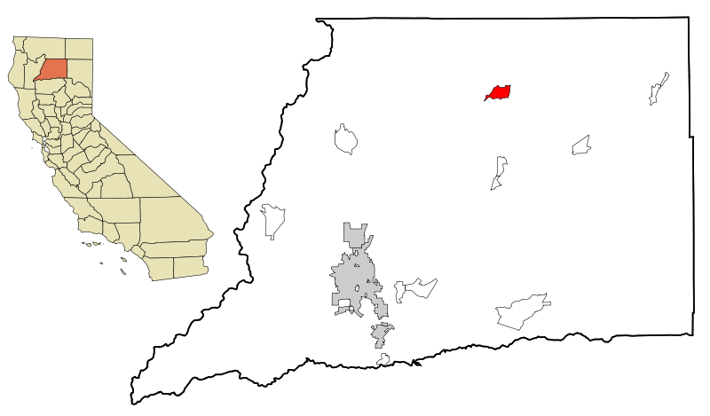
This map set shows roughly where the Madesi Valley and Greater Big Bend (the red shape in the northern central part of the County) sits inside of Shasta County and on the state map on the left it shows where Shasta County sits in northern central Califormia.
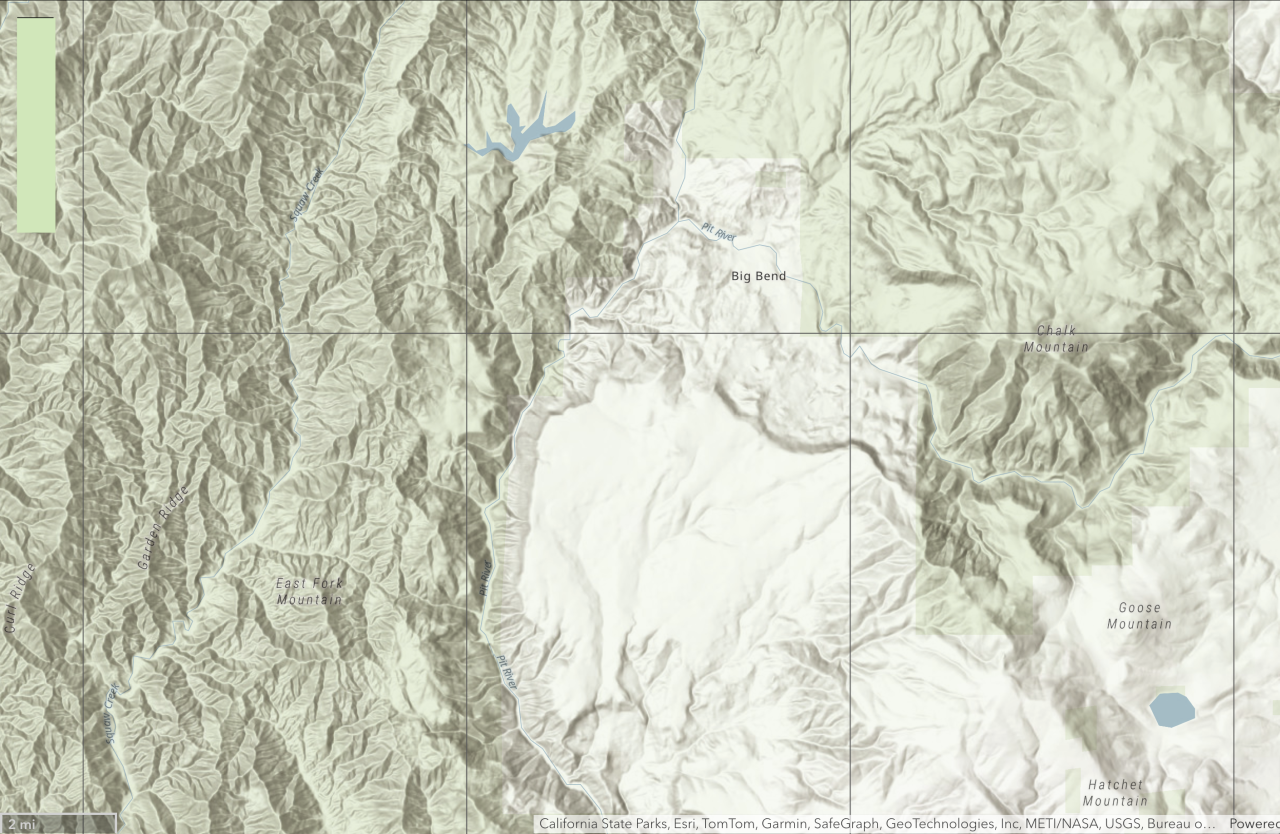
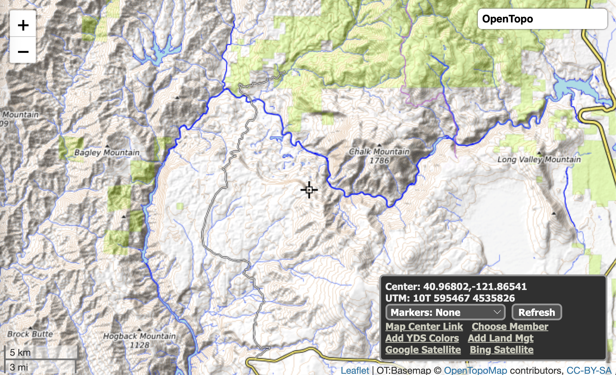
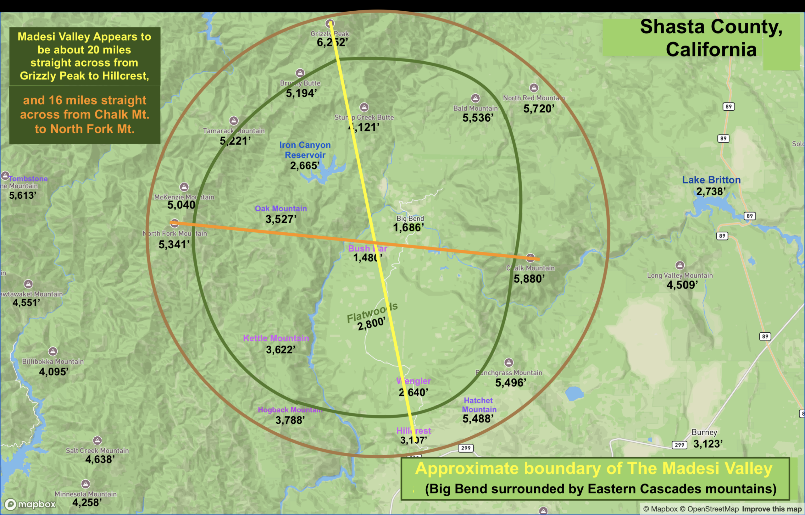
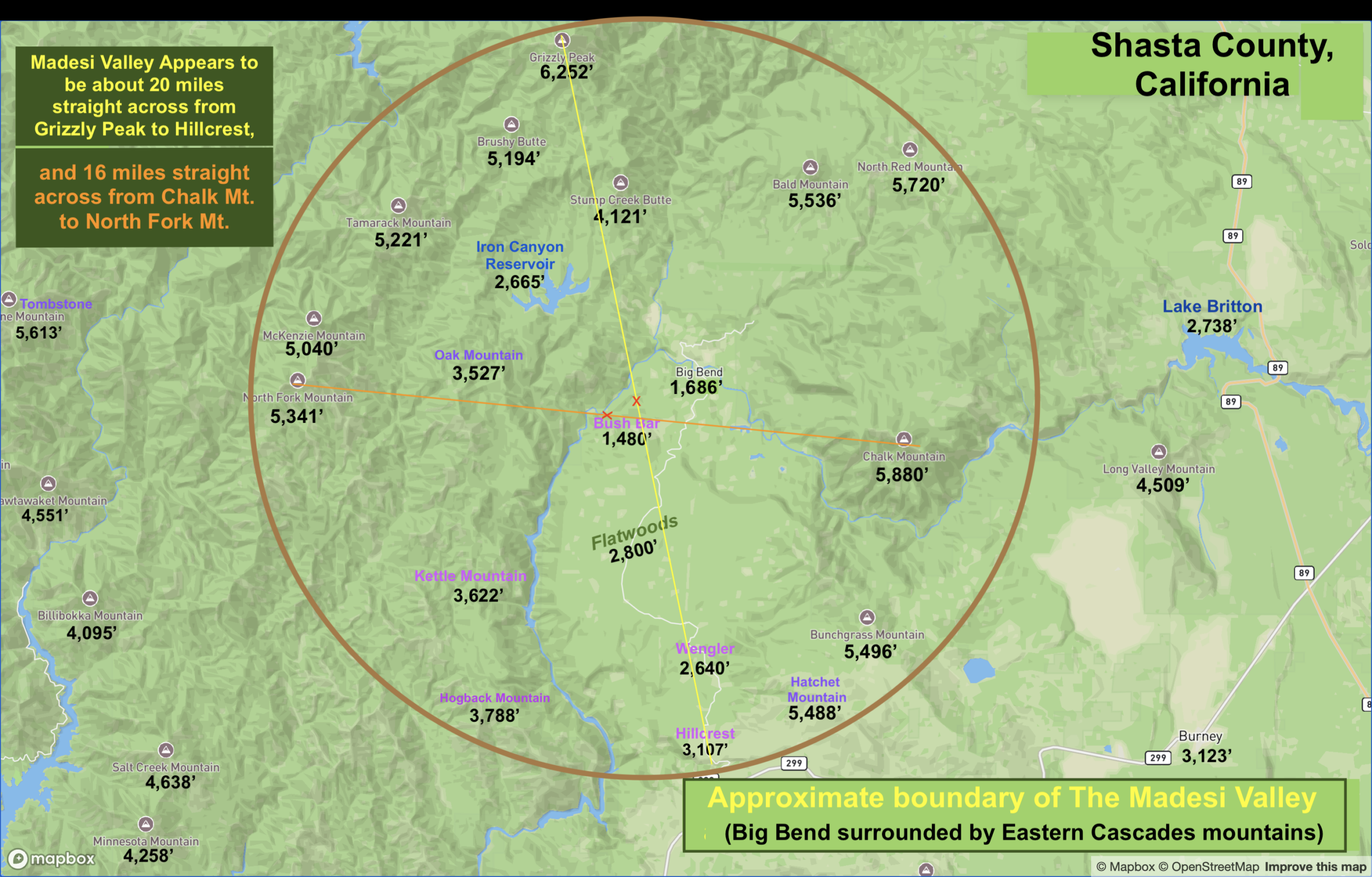
In fact, that’s a good place to begin our mapping journey on this web page: What is the Madesi Valley? (Aspects such as: What are the Valley’s boundaries or edges? Is it a round valley, or more oval? How wide and how long is the Valley? Can it be easily seen on a topographical map, such as the following four shaded “relief” maps below?:
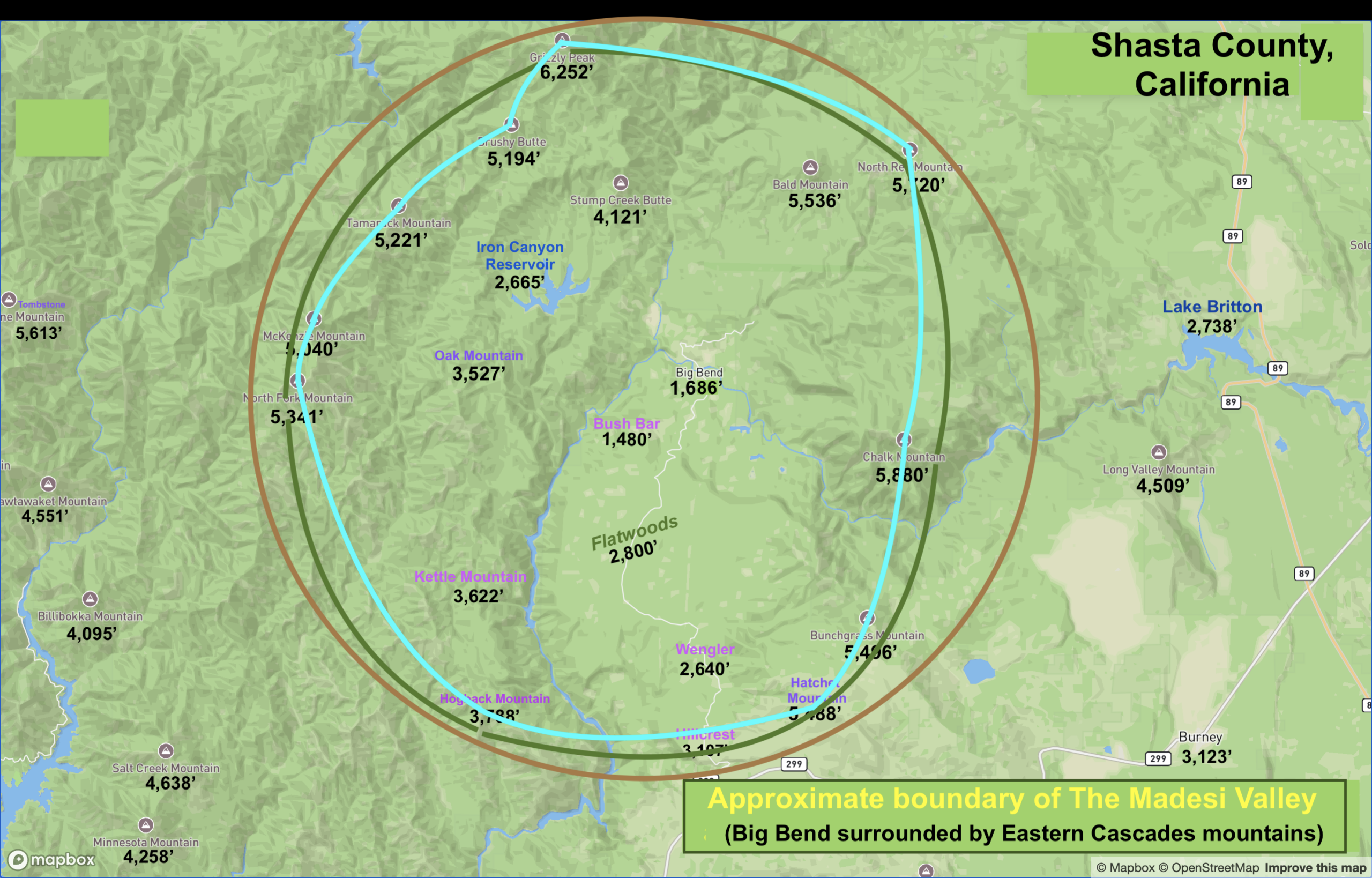
I think yes… Let’s dive right in. Perhaps one way to answer these questions is to identify the tallest elevations surrounding some of the lowest elevations. It looks like this Valley is shaped like a big mixing bowl (sort of).
Big Bend sits at the bottom of a small Eastern Cascades valley, surrounded by mountain peaks mostly in the 5,000′-6,000′ range. It turns out the Valley is almost round with a diameter of roughly 20 miles. In fact, the Madesi Valley APPEARS TO BE A GIANT YIN-YANG!
Chalk Mountain Toolaypah-Atay Ahko is the second-tallest peak surrounding the Madesi Valley. It is so massive that it defines and covers most of the eastern side of the Valley’s wall of mountains. This 2-D relief map (above) clearly shows how the Pit River Ahjoomah, winds right around the mountain’s base, heading NORTH, before the big bend in the river sends the flow back onto it’s SW course and across the Cascade Range.
The mountain elevations around Big Bend seem to make a fairly circular valley that’s about 16-20 miles in diameter.
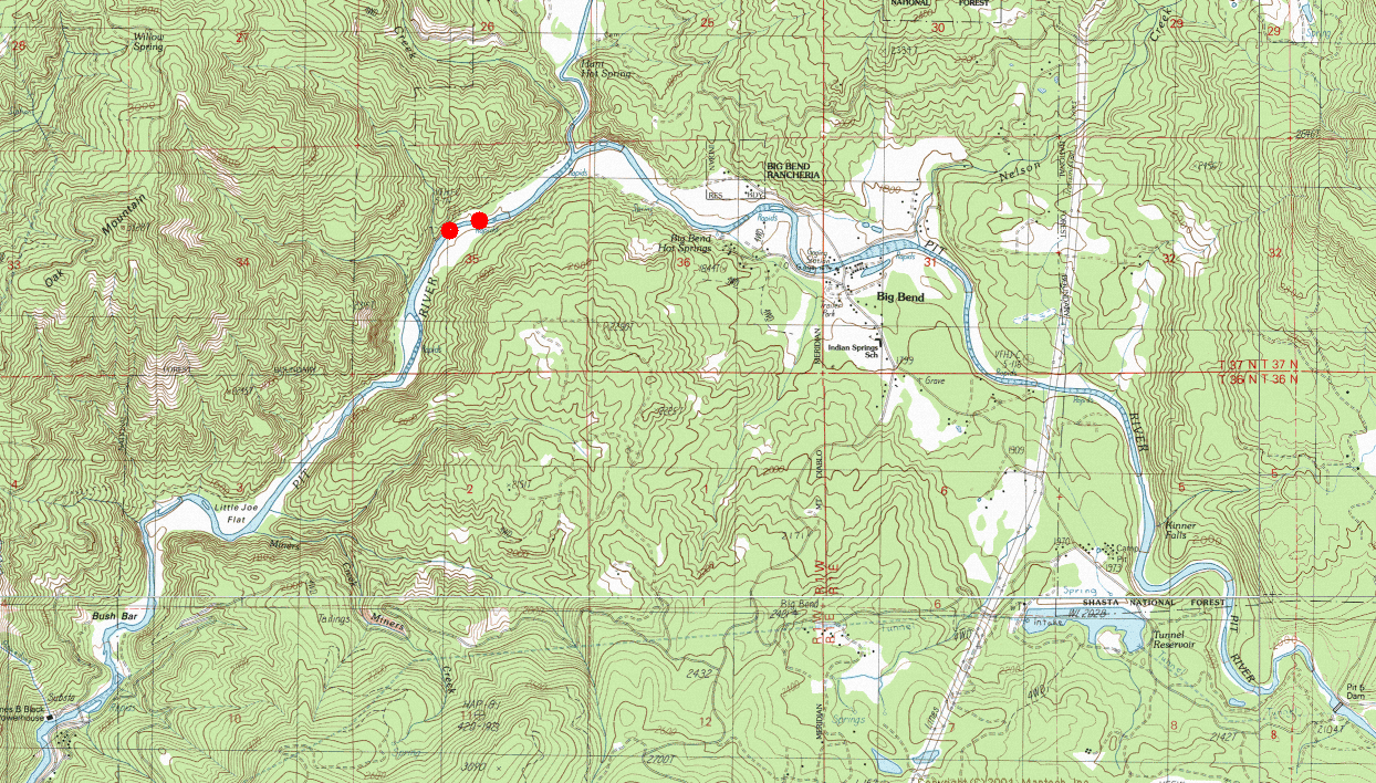
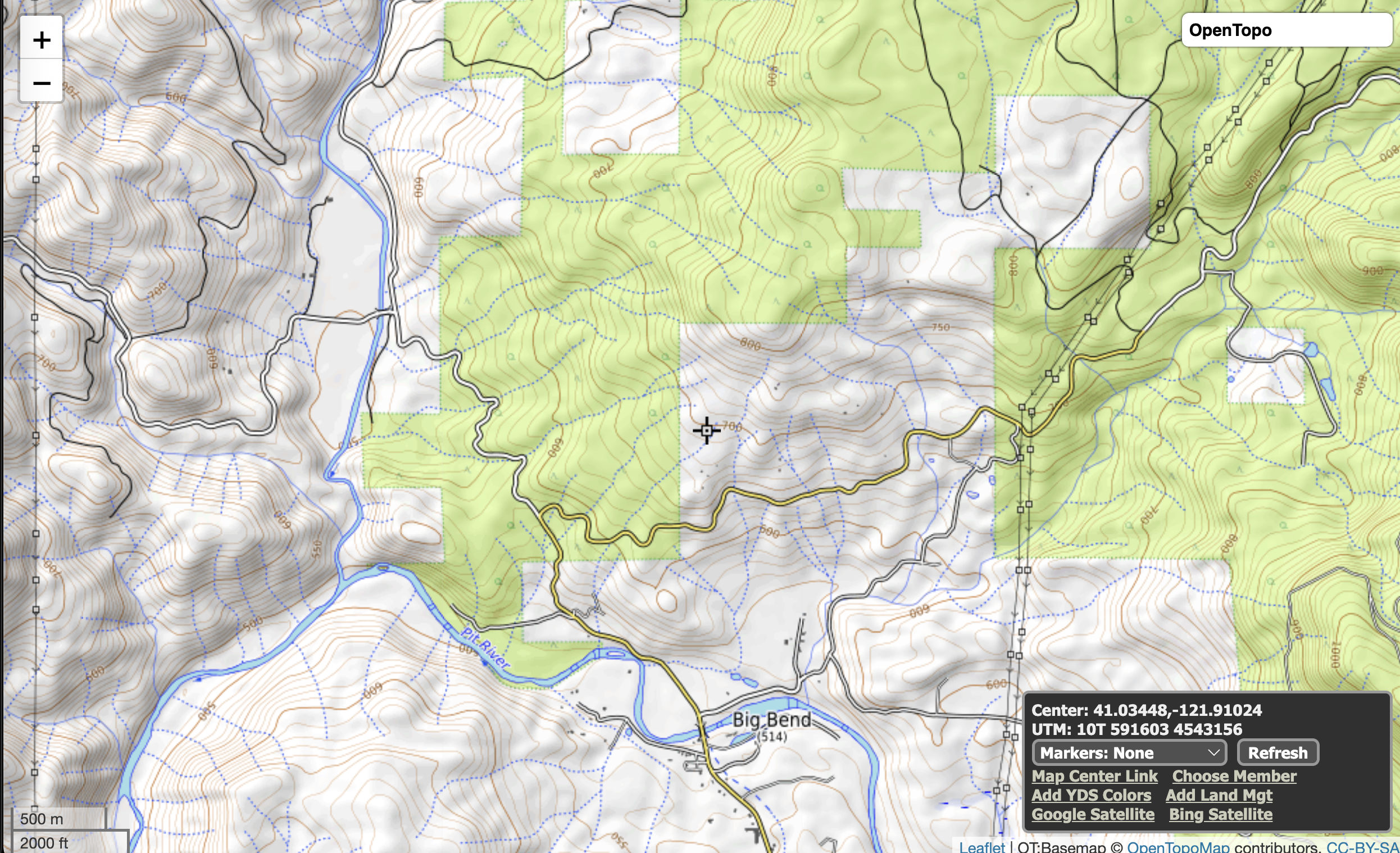
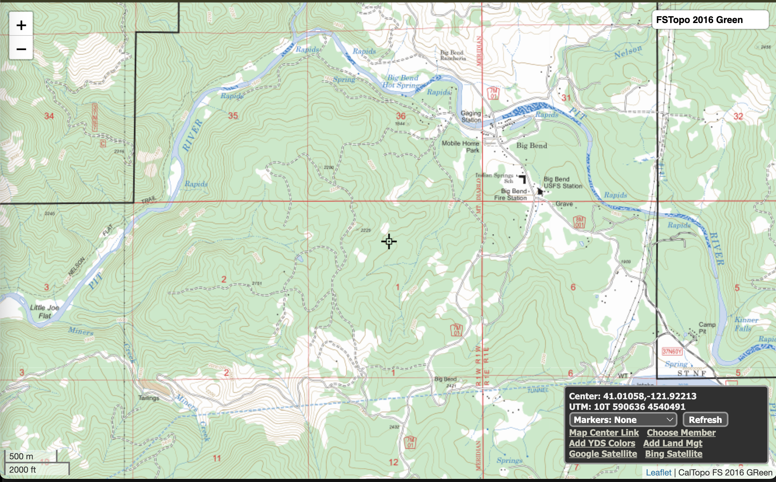
The Topography of The Big Bend in the Pit River Ahjoomah
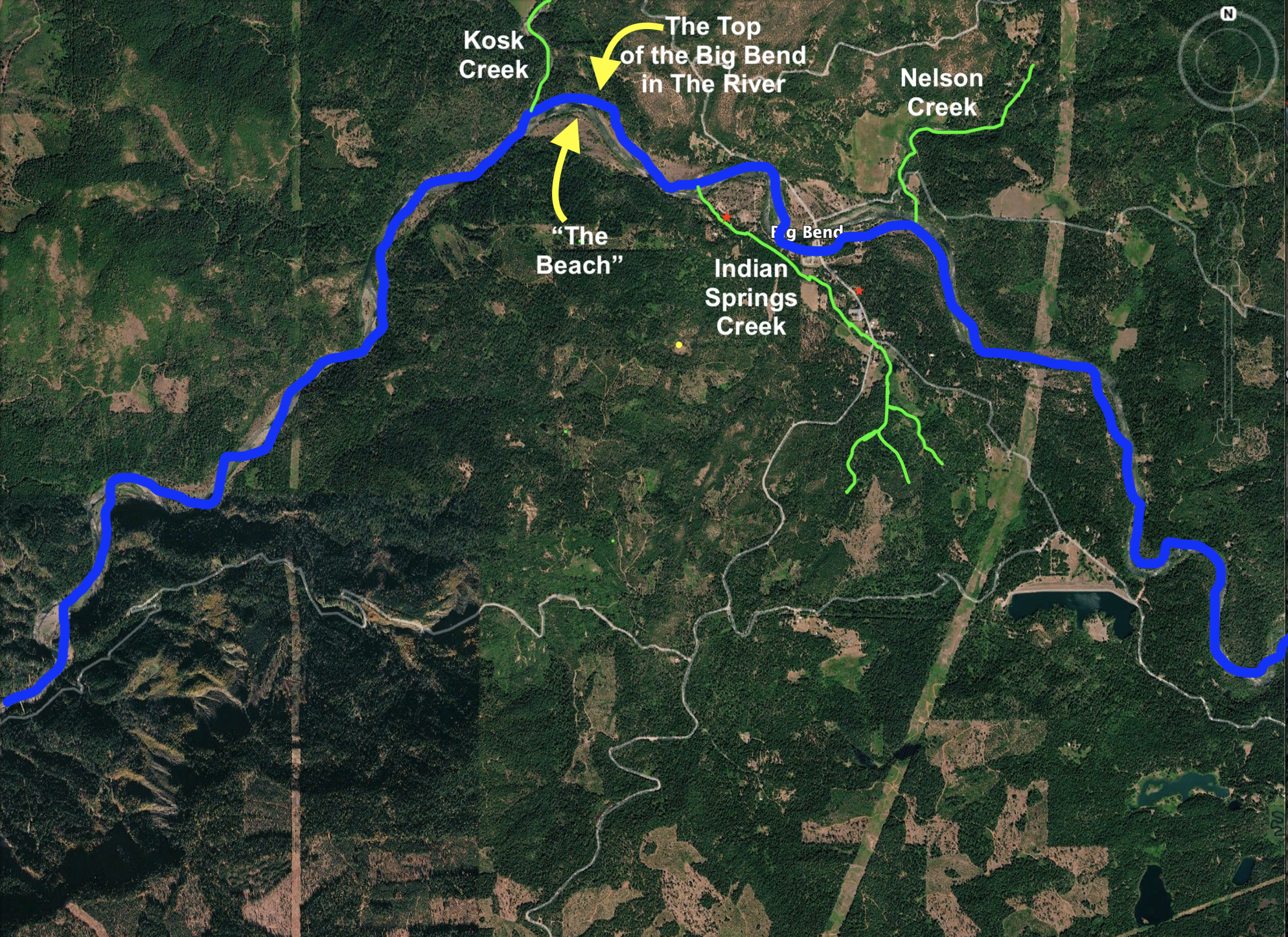
The View From Space of The Big Bend in the Pit River Ahjoomah
Bald Peak Topography- Big Bend Downtown Sits at the Bottom of this Mountain
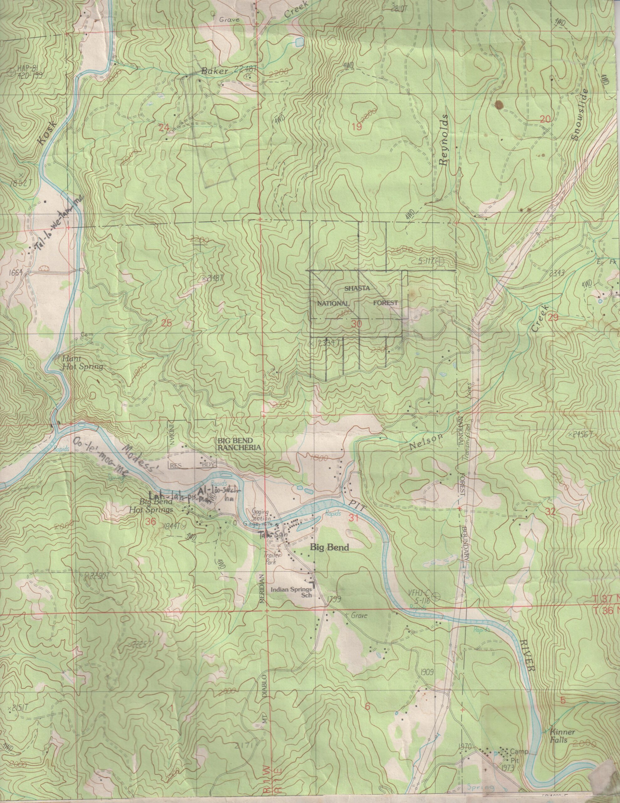
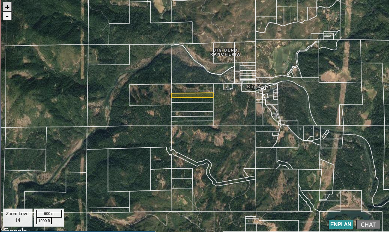
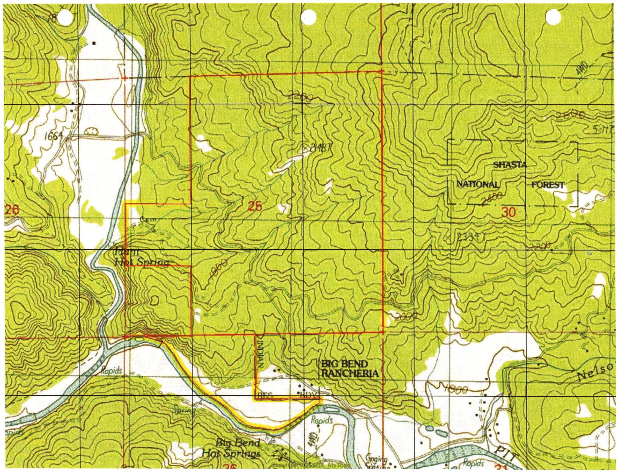
Topography of Big Bend Community Land Trust Farm & Forest (BBCLT & Surrounding Area)
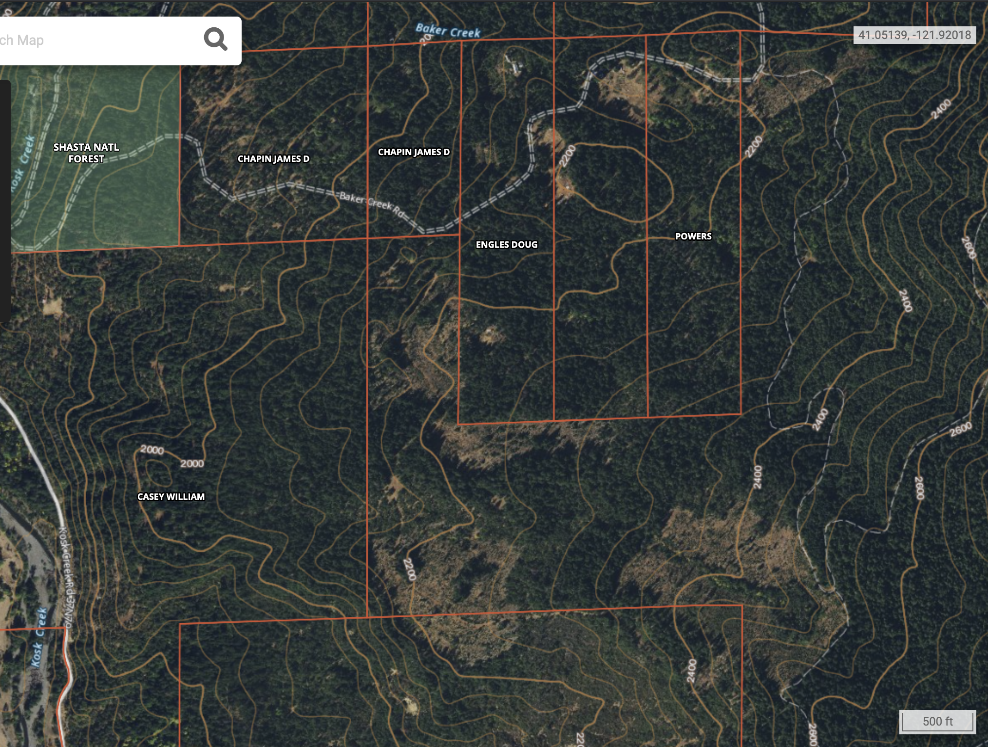
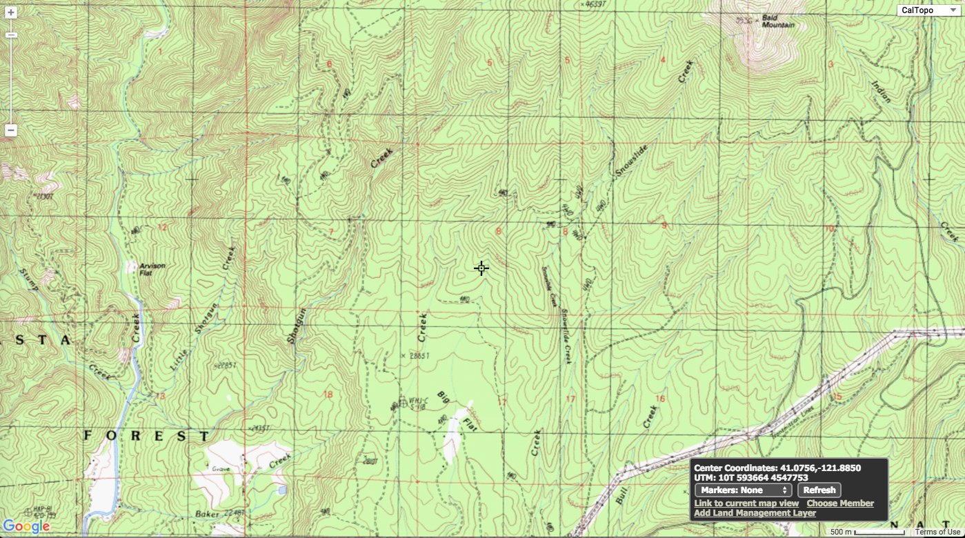
Baker Creek Area With Several Recent Clear Cuts
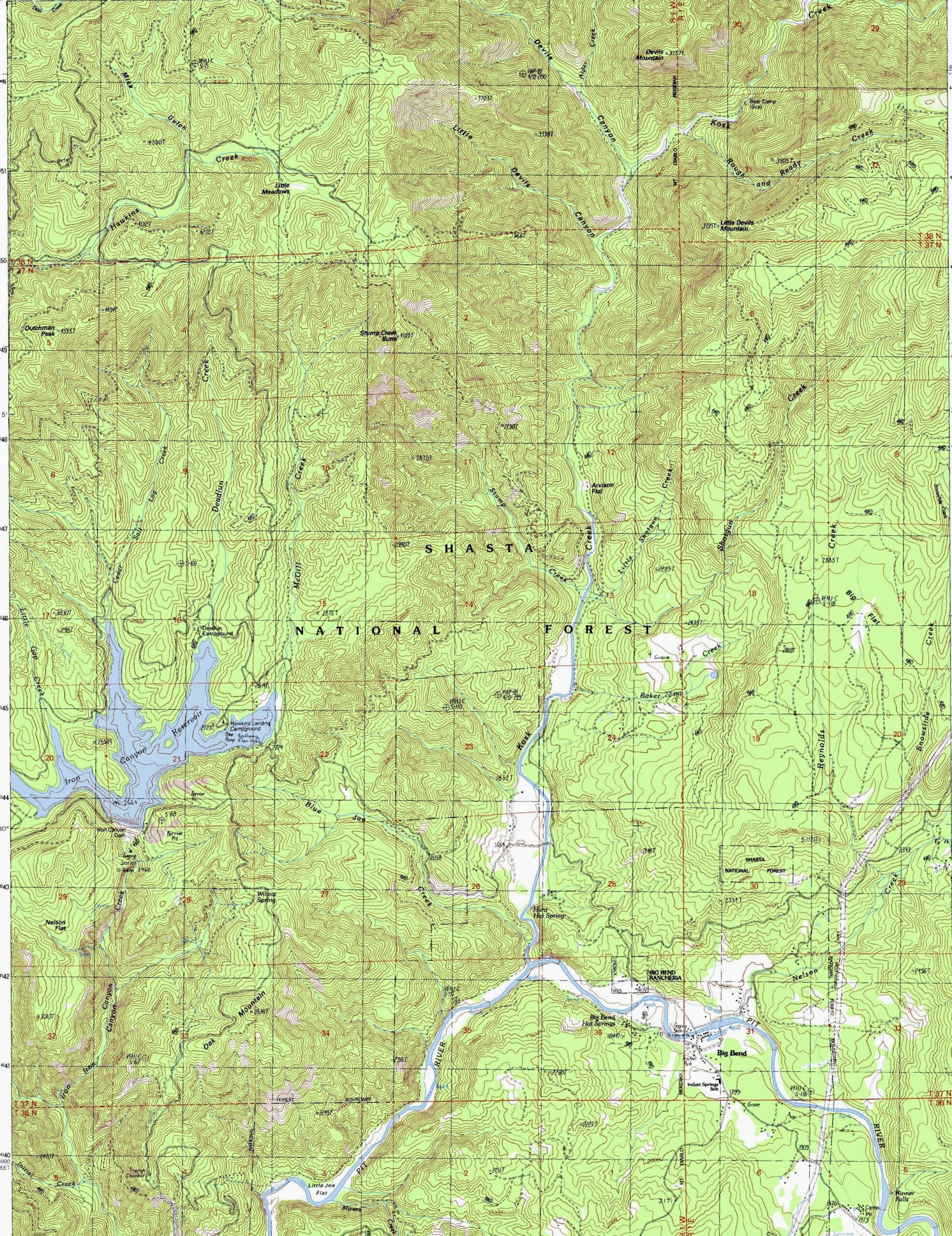
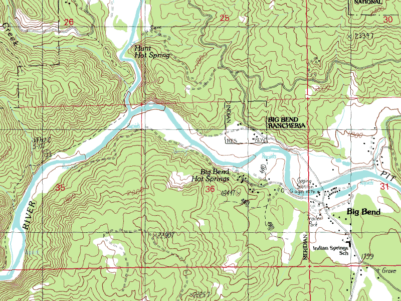
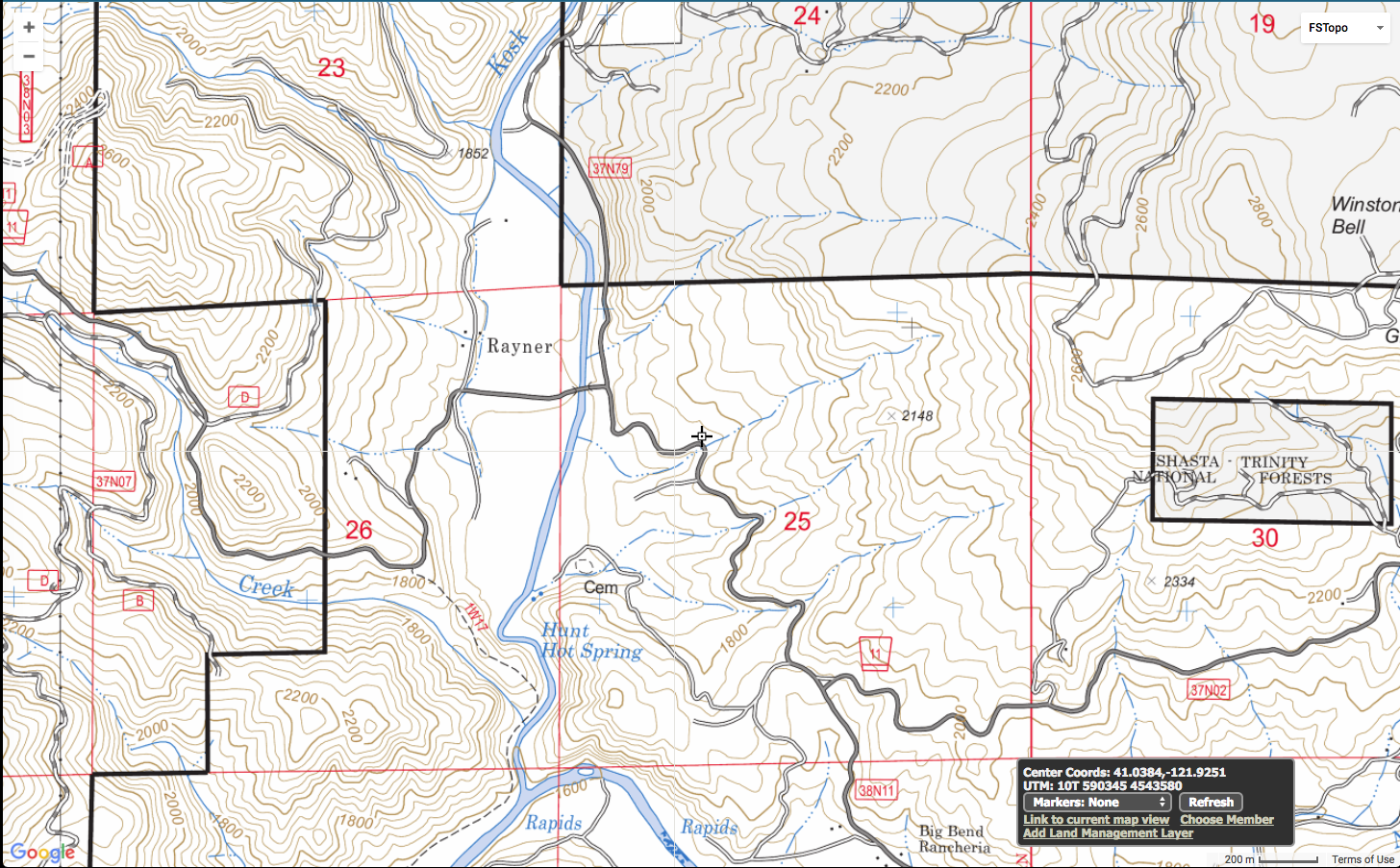
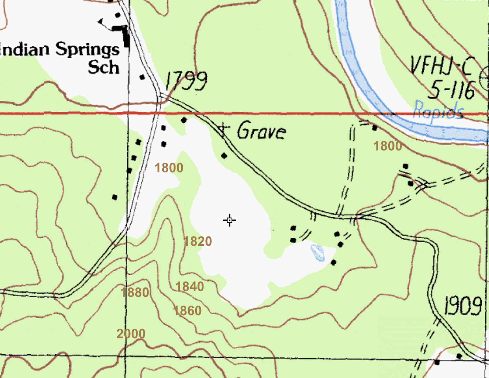
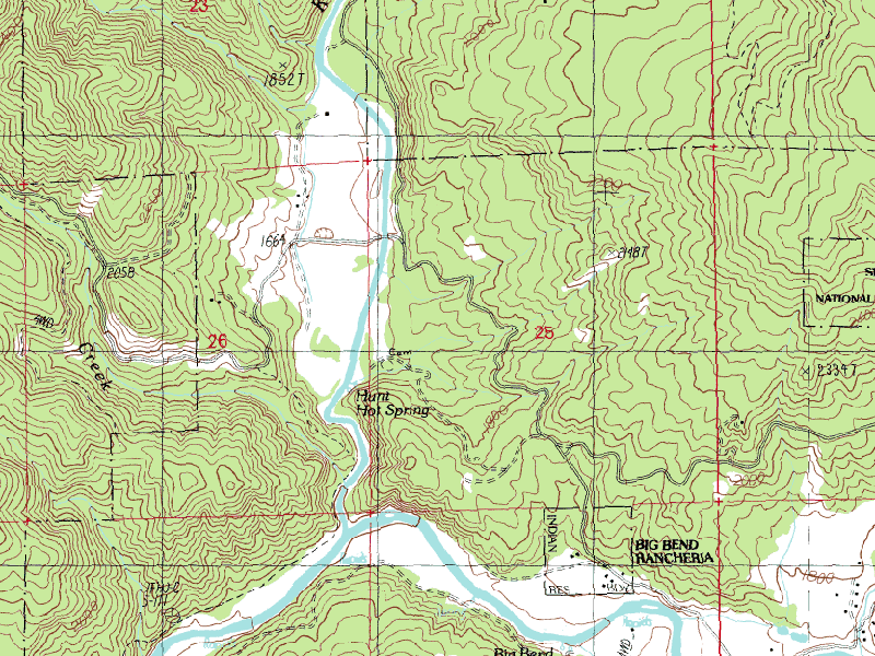
Topography Around Kosk Creek Hot Springs & Top of the Bend
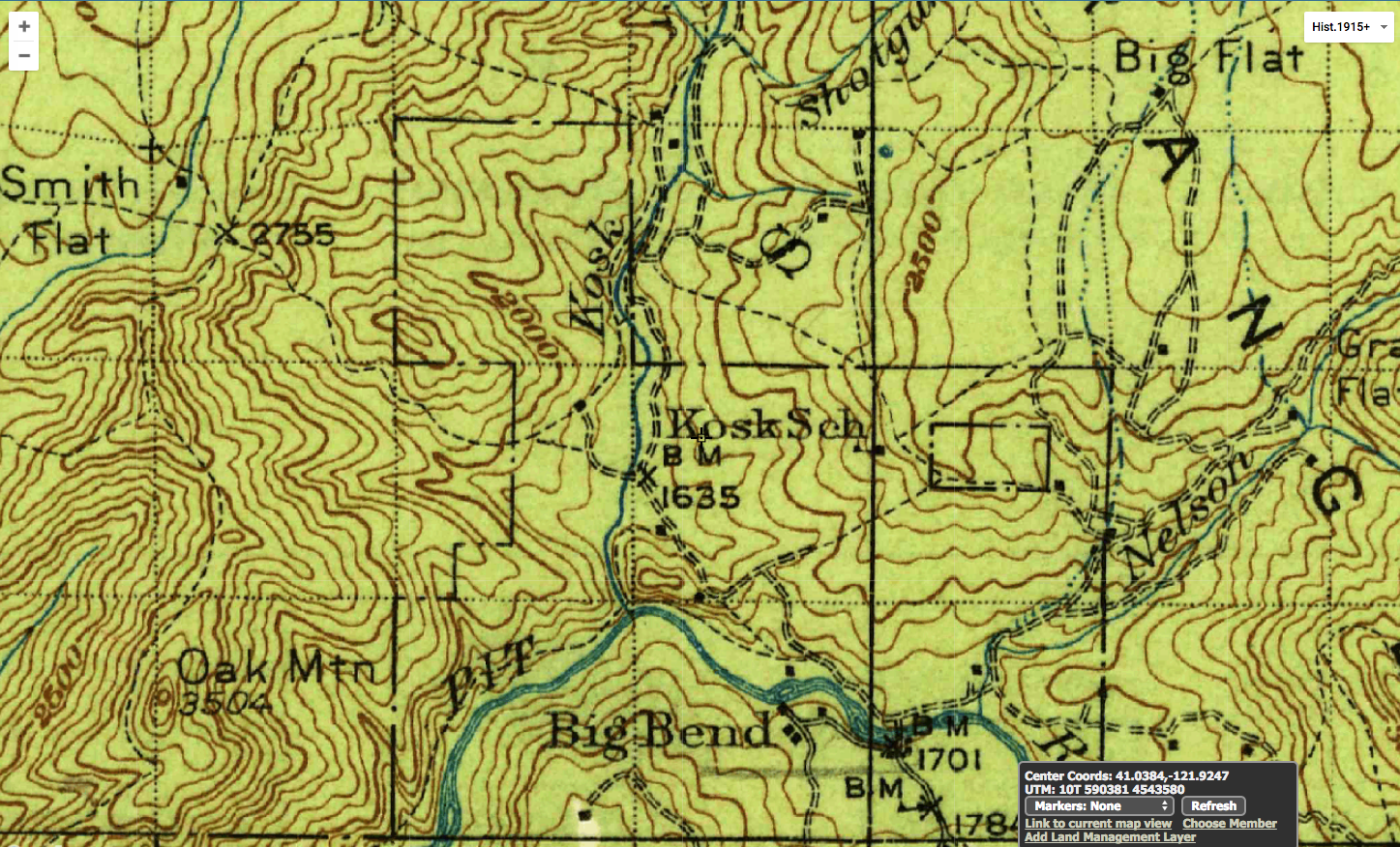
Historic Map Showing Old Kosk School, Currently Ruins Still Showing @MVR
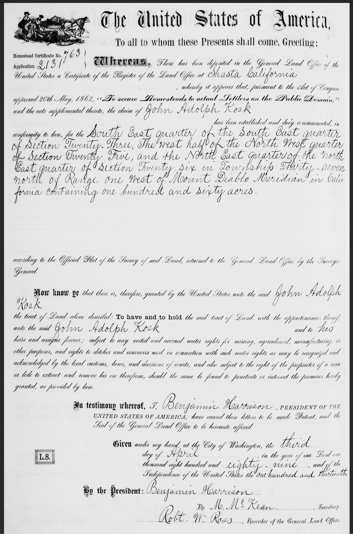
A very sad story! Primary source evidence of the cruel and greedy government-sanctioned theft of Madesi land. Ever wonder why it’s called Kosk Creek? In 1889, John Adolph Kosk apparently was a significant co-conspirator of racist genocidal USA policy makers, who used the new law (The “To Secure Homesteads to Actual Settlers on the Public Domain Act”, passed by congress in 1862) to brazenly “claim” all the most desirable land willy nilly…
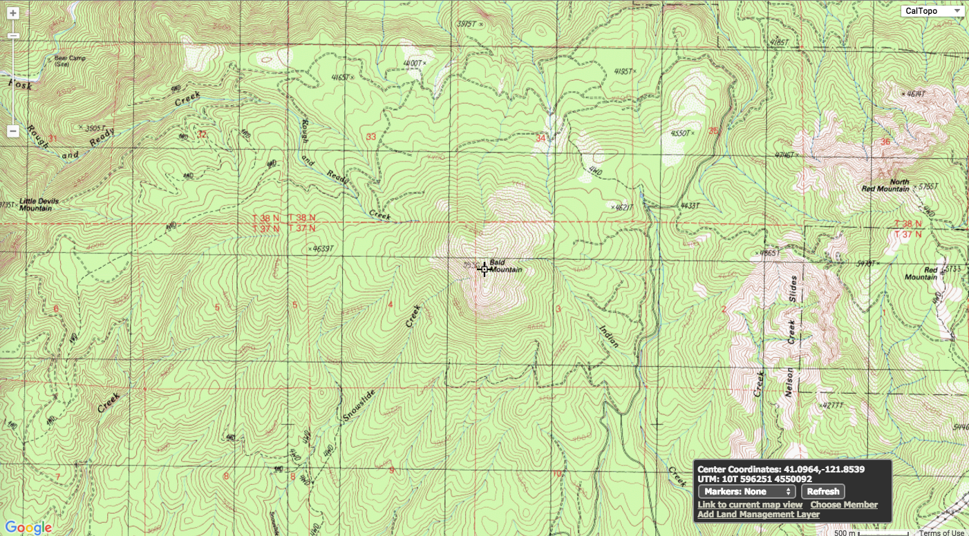
Maho-Mah-Aday Ahko (Bald Peak) Dominant Part of Big Bend
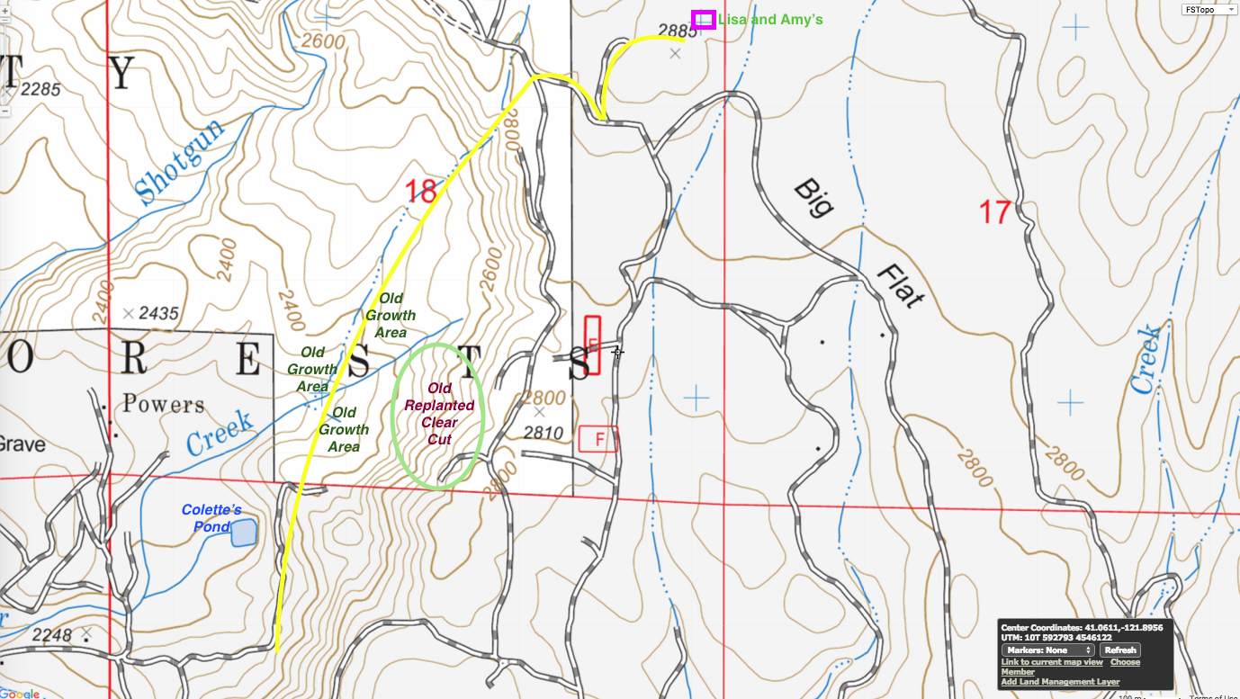
Hiking Route From Baker Creek to End of Shotgun Road
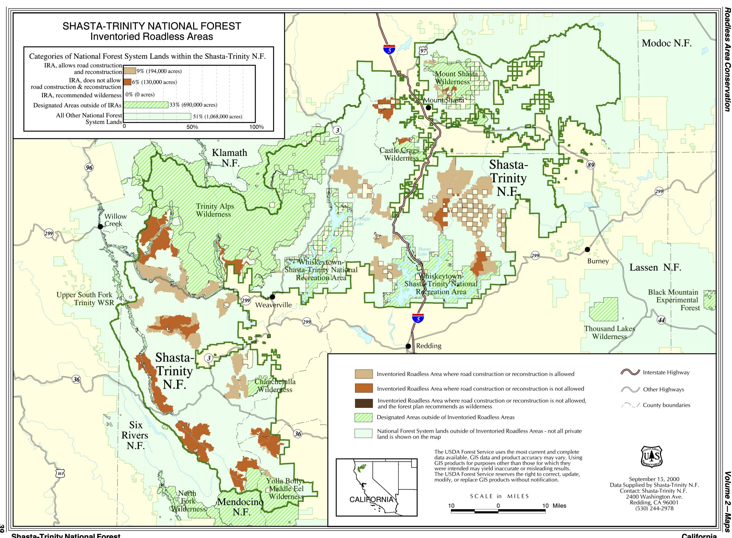
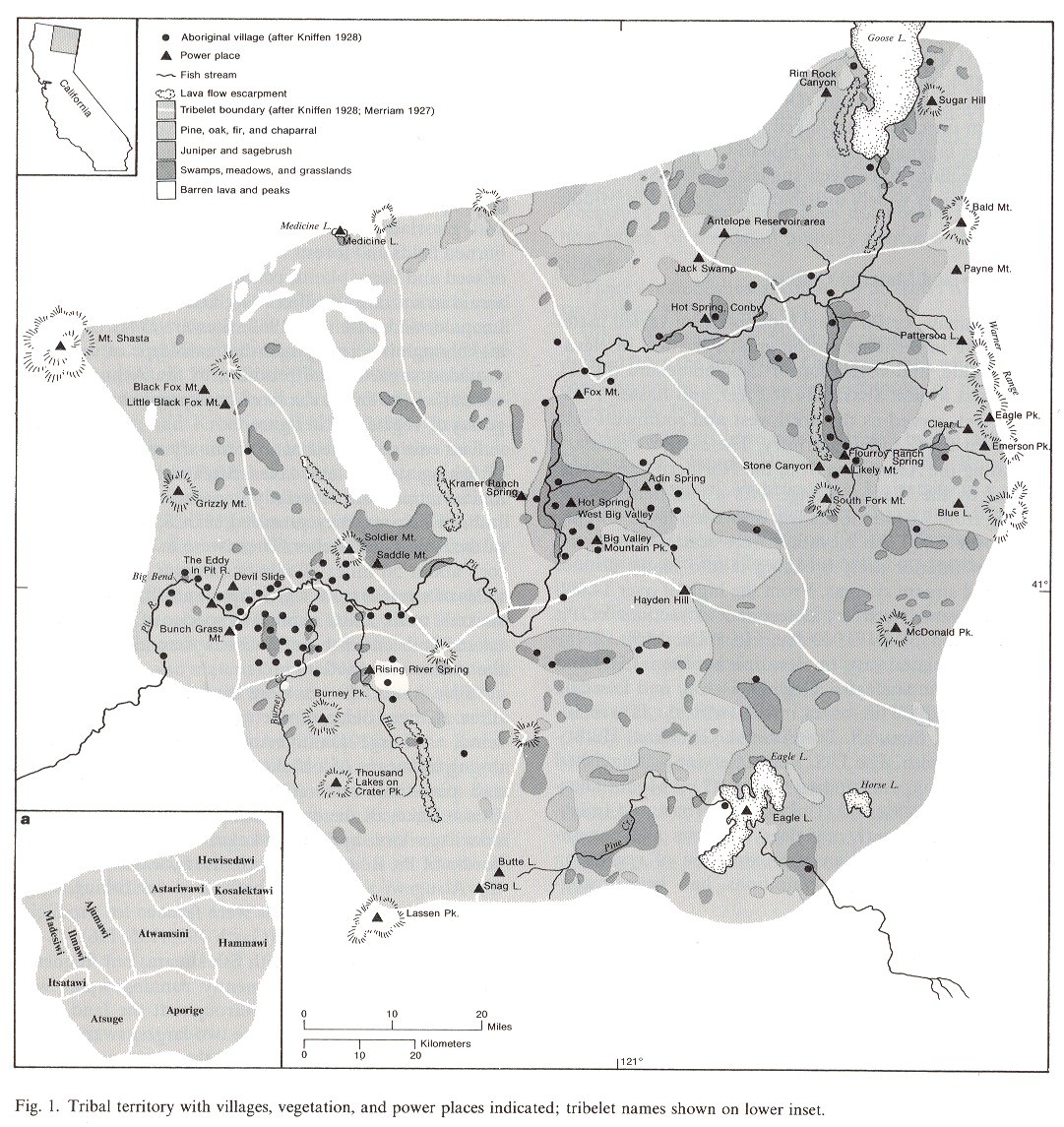
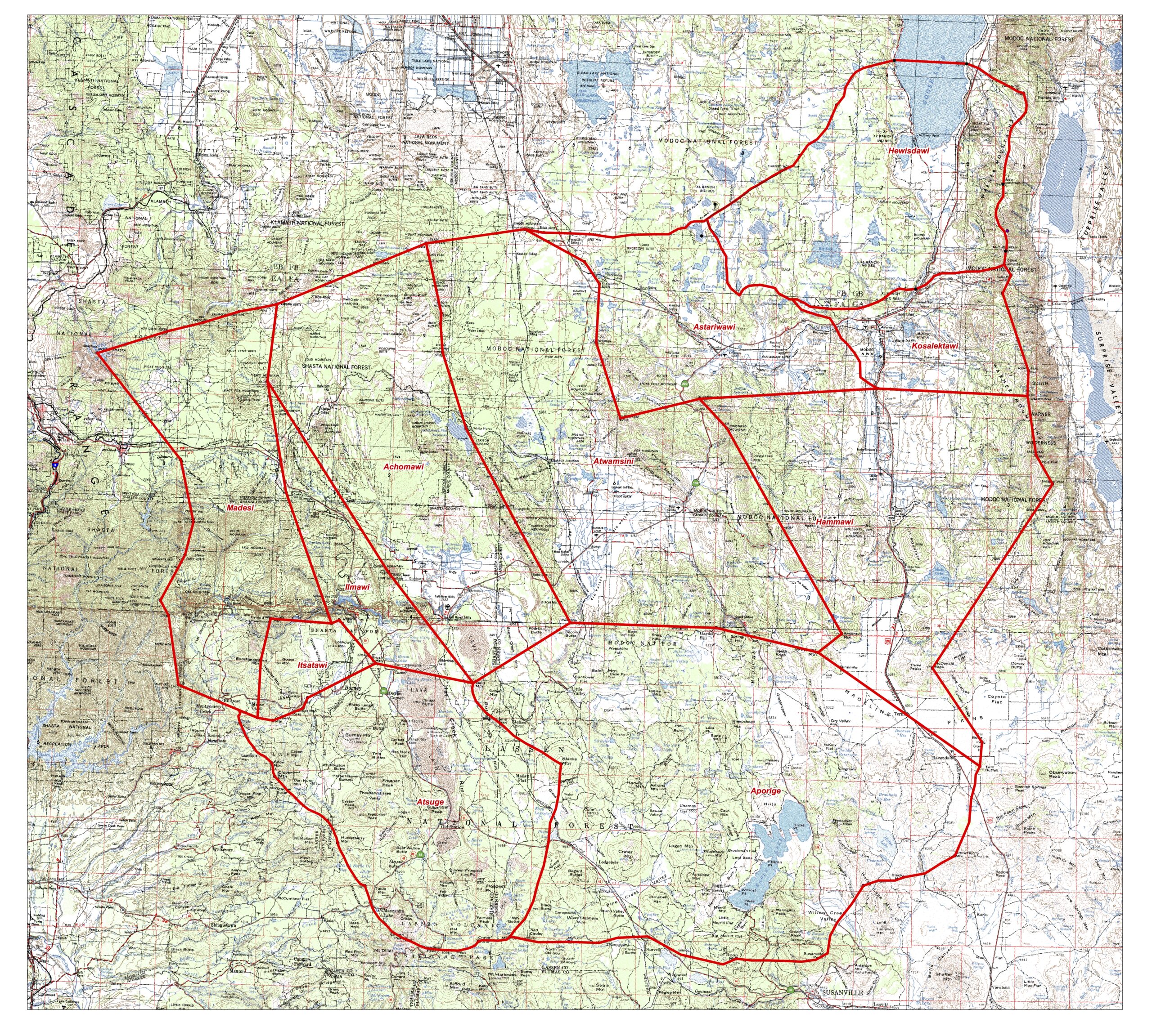
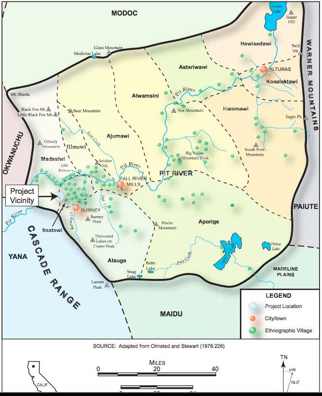
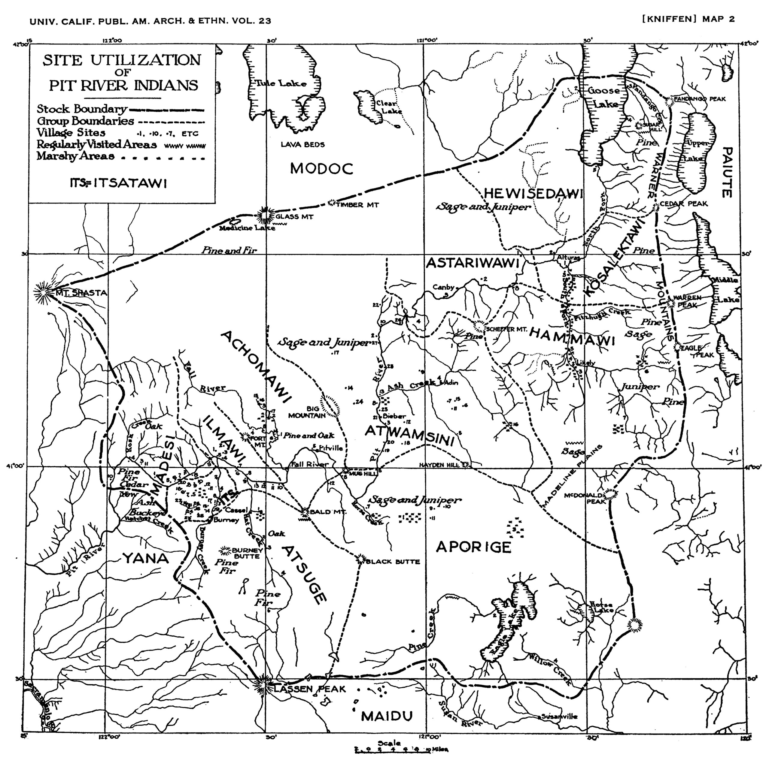
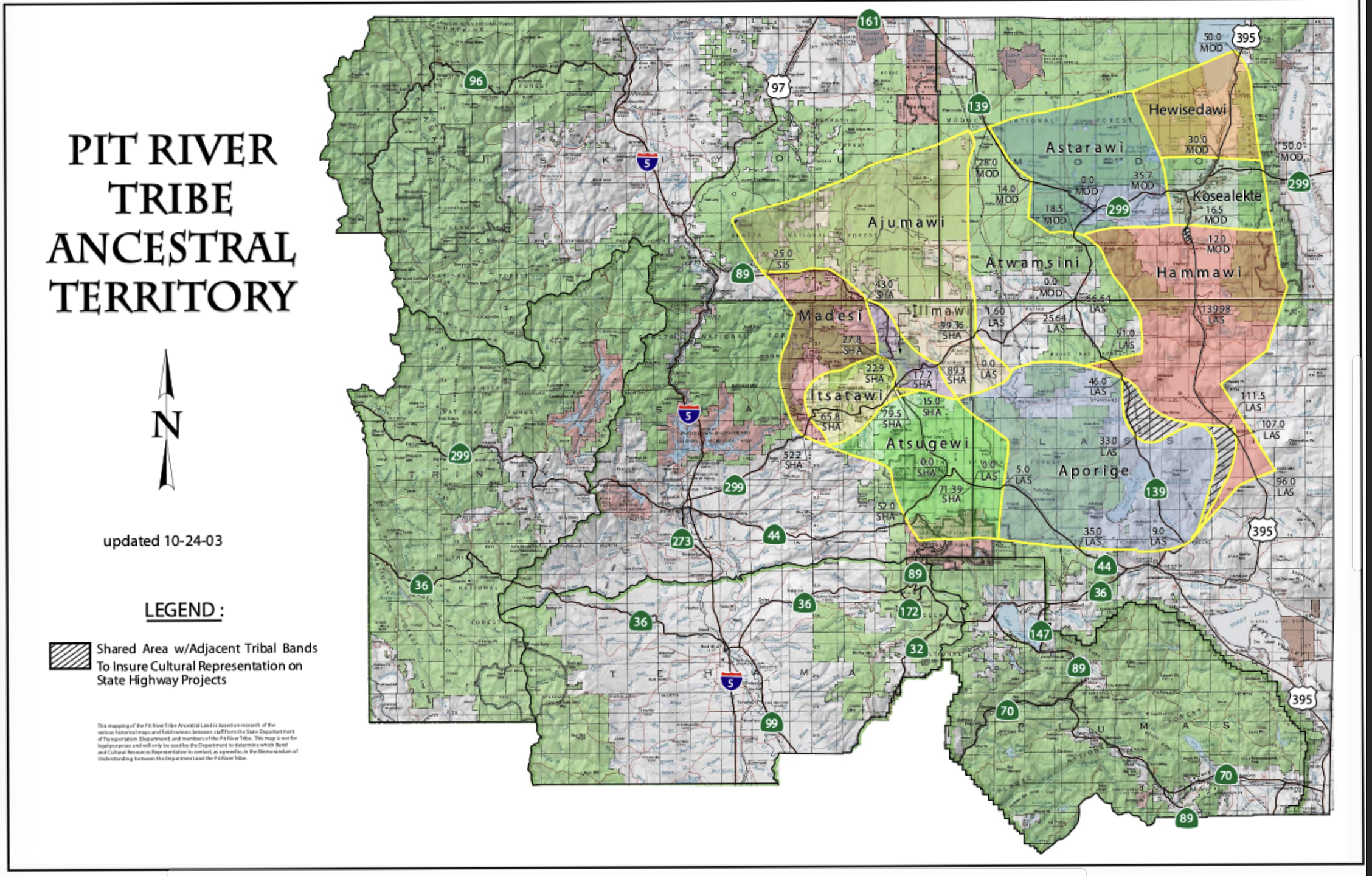
Five Pit River Tribe Ancestral Territory Maps:
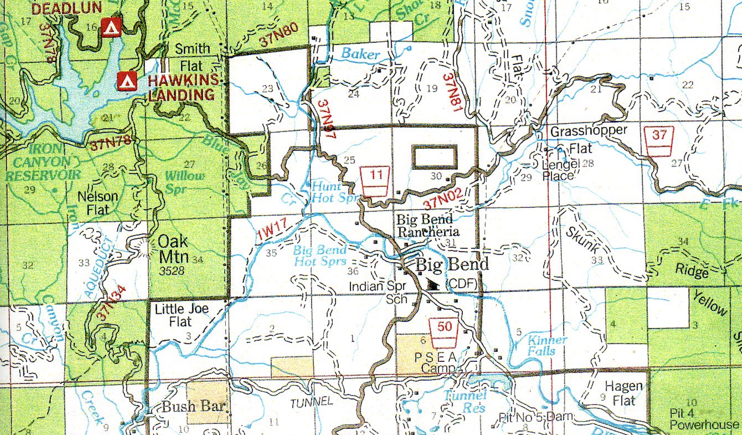
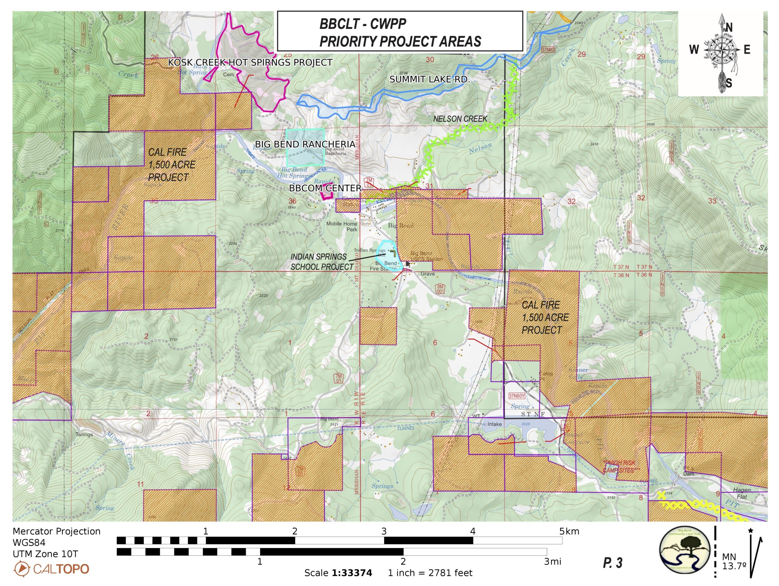
Other Interesting Area Maps
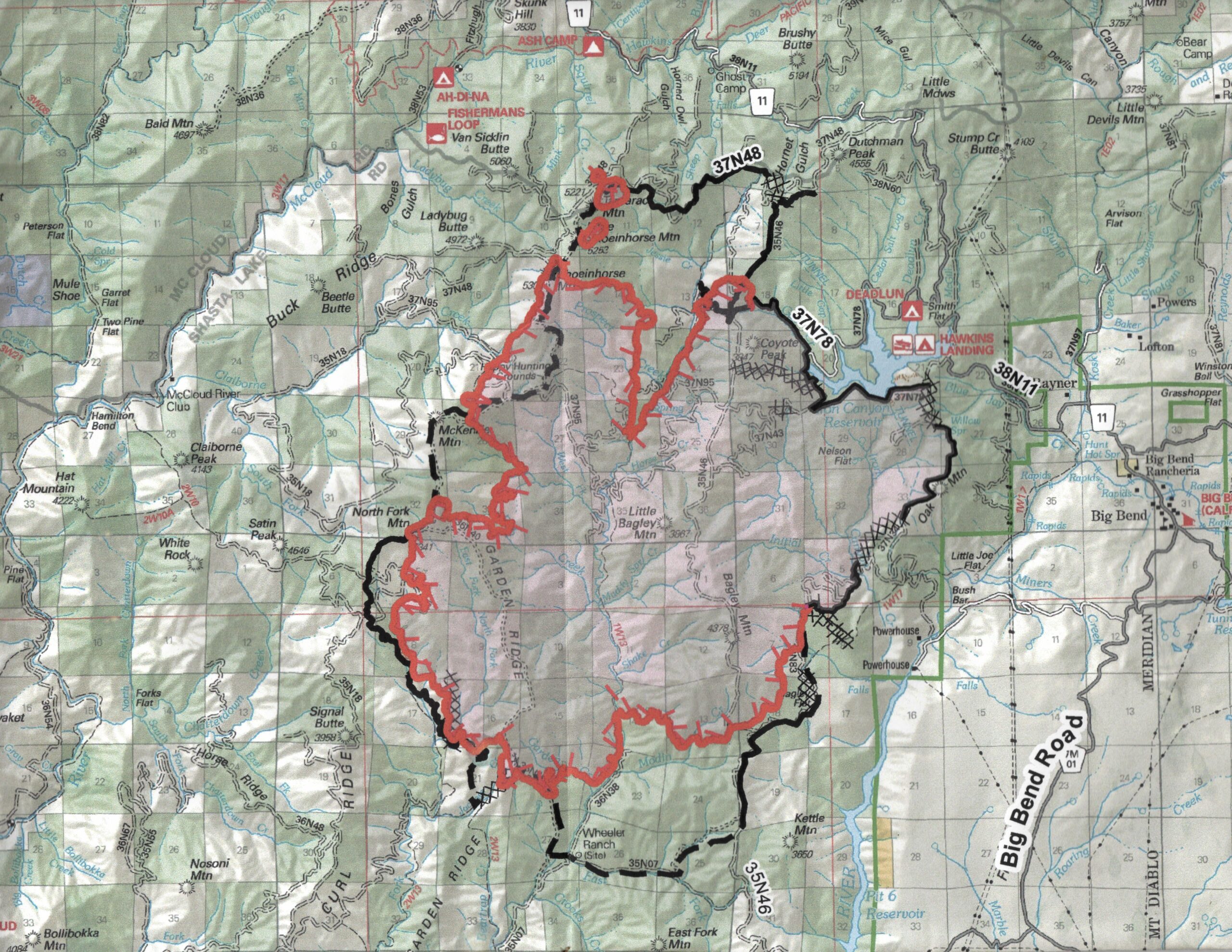
2012 Bagley Complex Fire – Just a Few Miles from Big Bend!
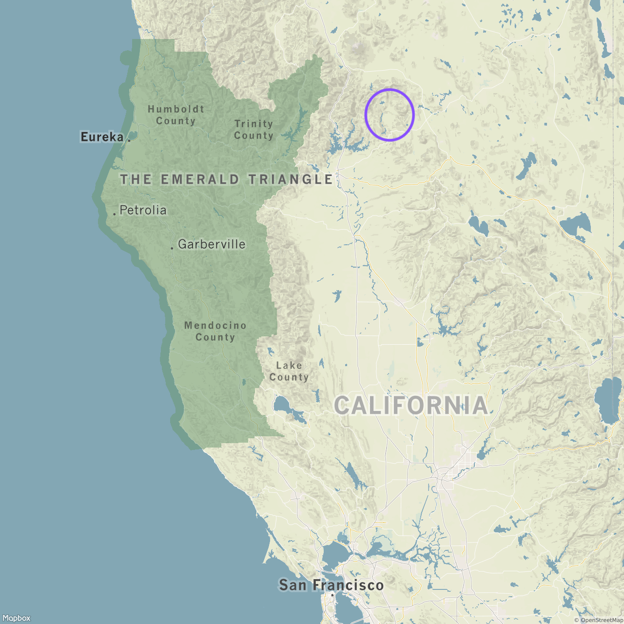
Big Bend Area shown in purple circle, just east of the gorgeous Emerald Triangle.
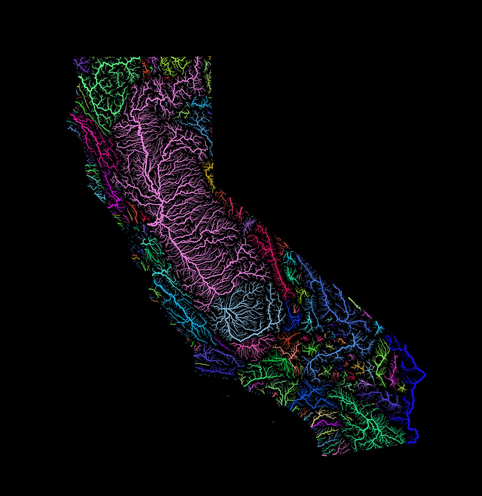
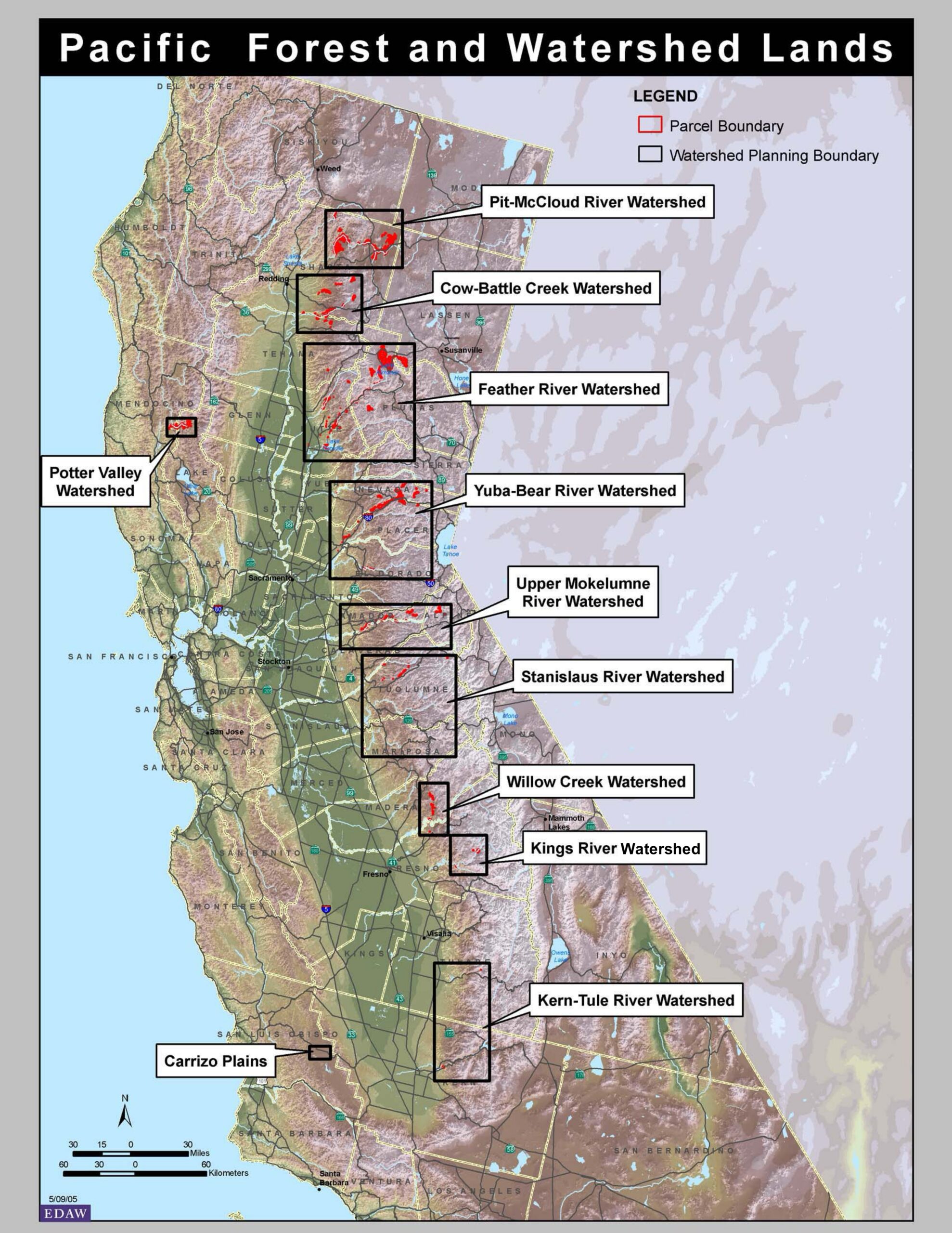
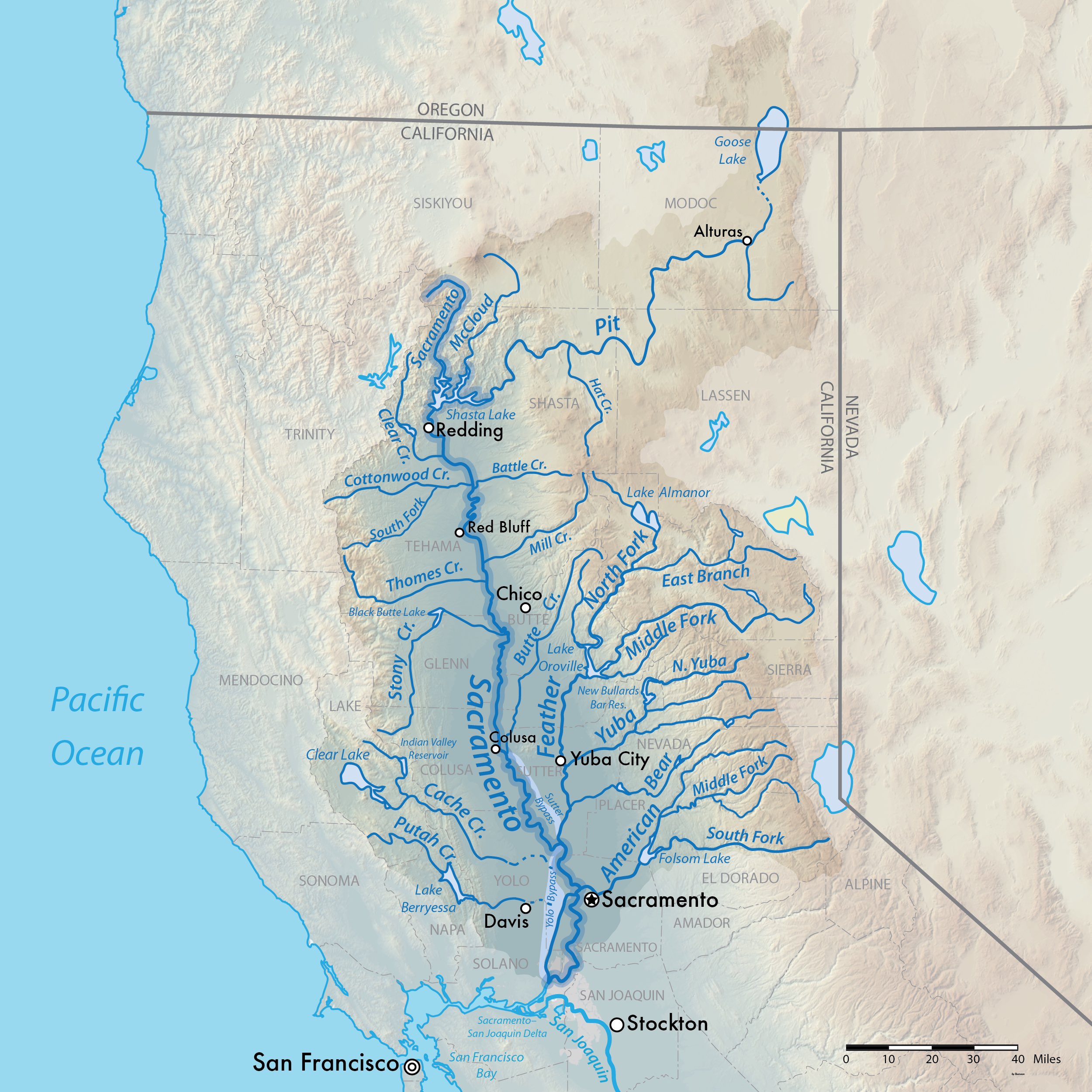
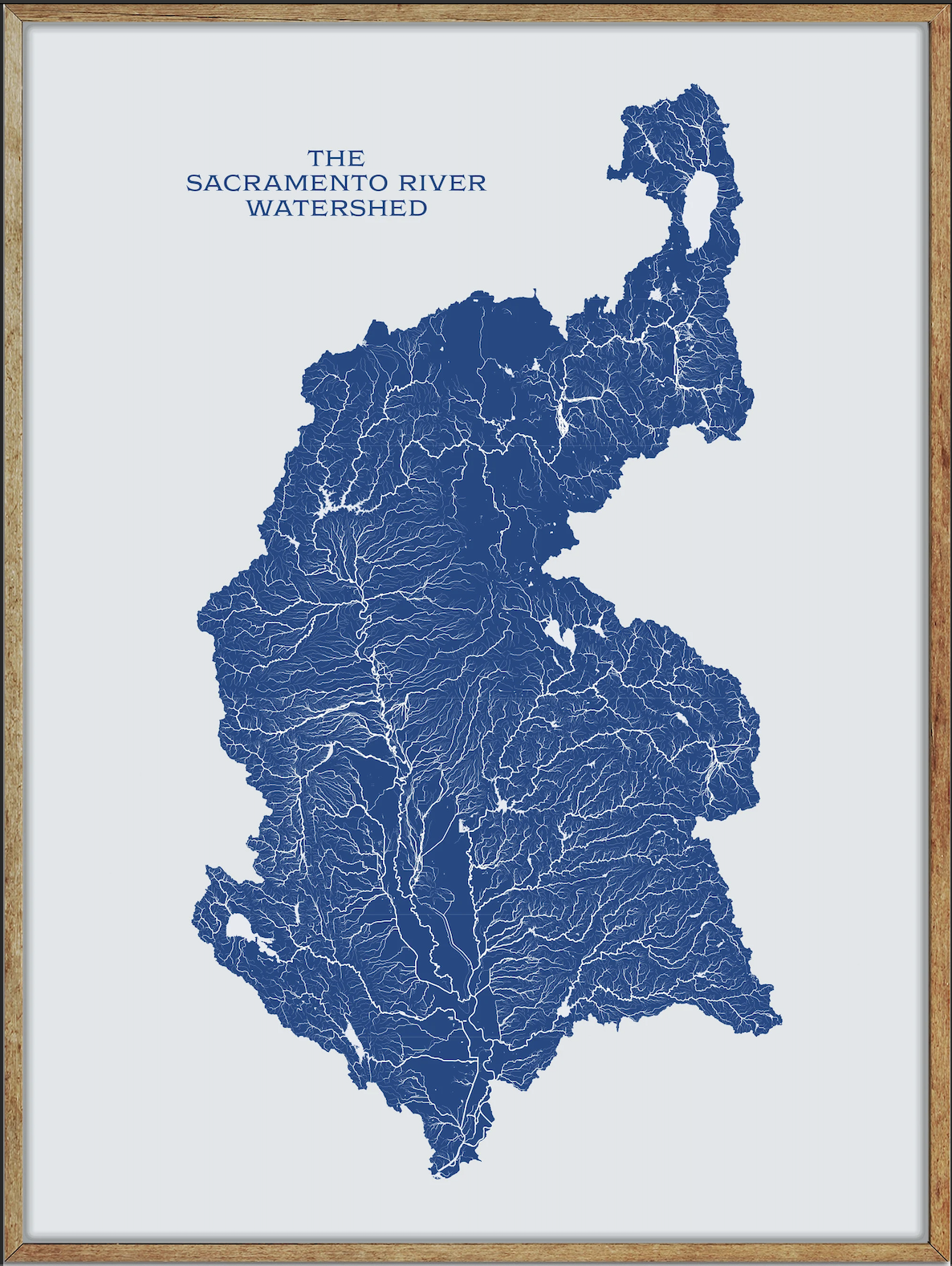
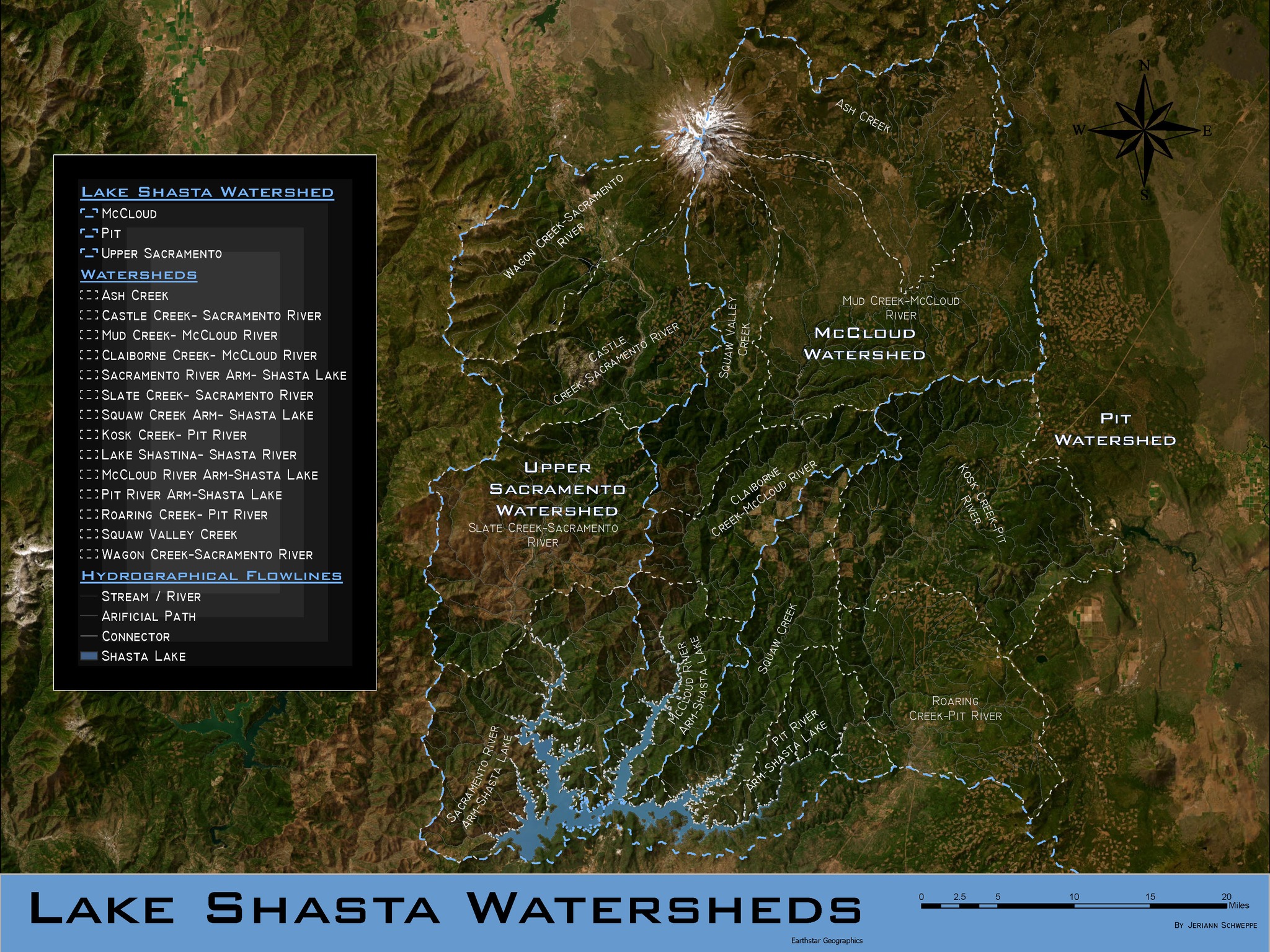
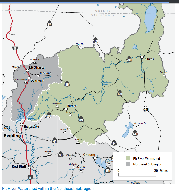
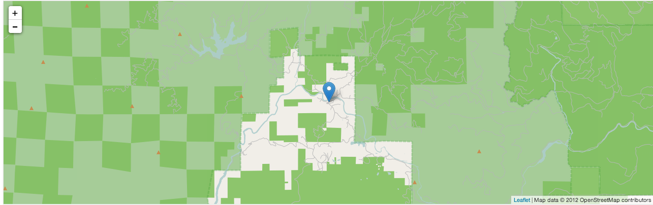
~~~~~~~~~~~~~~~~~~~~~~~~~~~~~~~~~~ Big Bend and Greater Area Watershed Maps: